
Belgium-Netherlands boundary stone no. 25
Location: Voeren
Location: Eijsden-Margraten
Part of: Belgium–Netherlands border
GPS coordinates: 50.77761,5.77877
Latest update: June 13, 2025 12:13
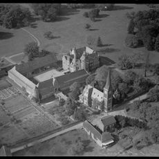
Castle of Mheer
899 m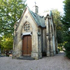
Grafkapel RK Begraafplaats (Mheer)
974 m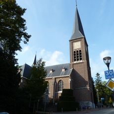
Sint-Lambertuskerk
963 m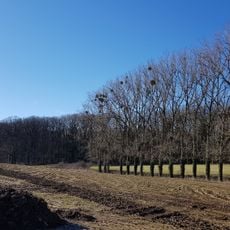
Horstergrub
412 m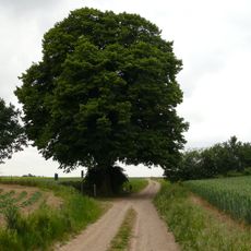
Huuskesboom
890 m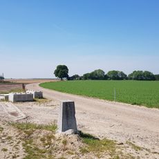
Belgium-Netherlands boundary stone no. 26a
726 m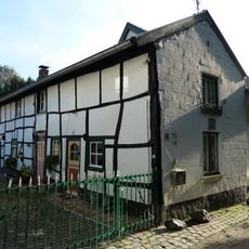
Steegstraat 19, Mheer
816 m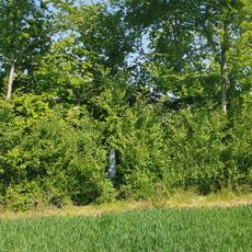
Belgium-Netherlands boundary stone no. 26
603 m
Belgium-Netherlands boundary stone no. 25a
209 m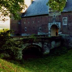
Castle of Mheer: two access bridges
892 m
Belgium-Netherlands boundary stone no. 25b
537 m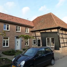
Rondelenstraat 8, Mheer
960 m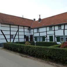
Rondelenstraat 14, Mheer
895 m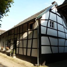
Steegstraat 21, Mheer
805 m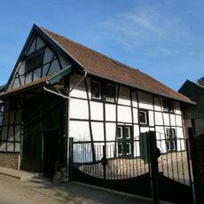
Steegstraat 23, Mheer
822 m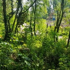
Belgium-Netherlands boundary stone no. 24a
385 m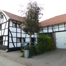
Rondelenstraat 10, Mheer
943 m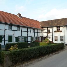
Rondelenstraat 12, Mheer
916 m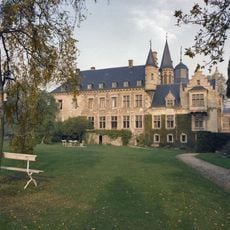
Castle of Mheer: garden and park
598 m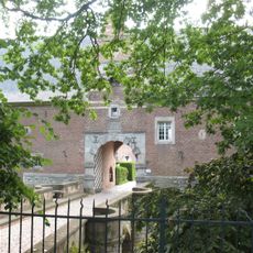
Castle of Mheer: two iron fences
351 m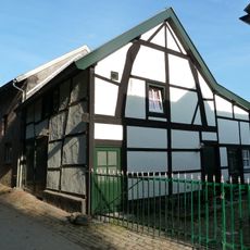
Steegstraat 17, Mheer
824 m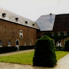
Castle of Mheer: farm building and forecourt
892 m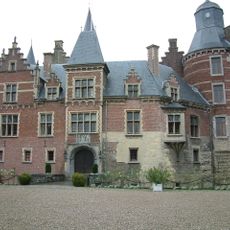
Castle of Mheer: main building
873 m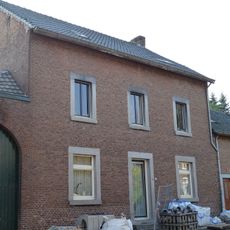
Dorpsstraat 24, Mheer
939 m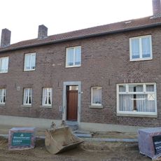
Dorpsstraat 22, Mheer
930 m
Dorpsstraat 16, Mheer
906 m
Former chaplaincies Mheer
924 m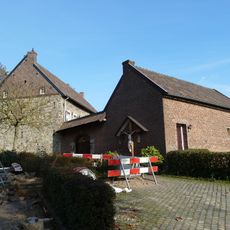
Presbytery Mheer
969 mReviews
Visited this place? Tap the stars to rate it and share your experience / photos with the community! Try now! You can cancel it anytime.
Discover hidden gems everywhere you go!
From secret cafés to breathtaking viewpoints, skip the crowded tourist spots and find places that match your style. Our app makes it easy with voice search, smart filtering, route optimization, and insider tips from travelers worldwide. Download now for the complete mobile experience.

A unique approach to discovering new places❞
— Le Figaro
All the places worth exploring❞
— France Info
A tailor-made excursion in just a few clicks❞
— 20 Minutes