
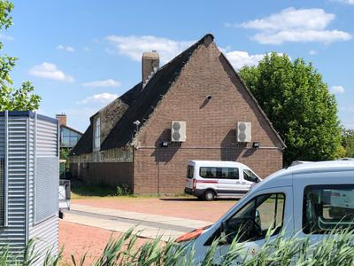
The big thatched burn, former complex for social employment and municipal monument in Diemen, the Netherlands
Location: Diemen
Inception: 1950s
GPS coordinates: 52.33818,4.97421
Latest update: March 2, 2025 21:35
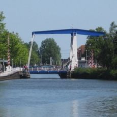
Diemerbrug, Diemen
936 m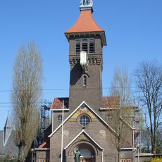
Sint Petrusbandenkerk, Diemen
1 km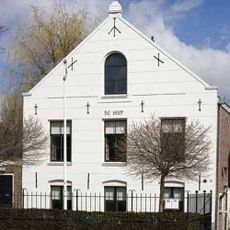
The Hope
996 m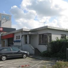
Tankstation De Blokhut, Diemen
785 m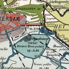
Diemerpolder
381 m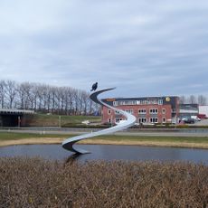
De Spiraal
783 m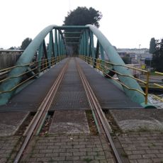
Tollensbrug, Diemen
545 m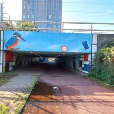
Brug 1608
1.1 km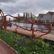
Rustpunten XXL
1.2 km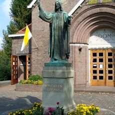
Statue of Sacred Heart of Jesus Christ
1 km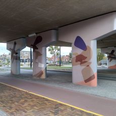
Untitled
422 m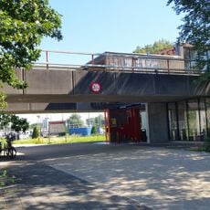
Bridge 1609
1.2 km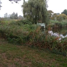
Brug 1126
1.1 km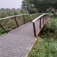
Brug 1181
1 km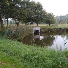
Brug 1125
1.2 km
Brug 1127
1.2 km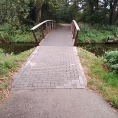
Brug 1184
1.1 km
Brug 1183
1.1 km
Brug 1182
1 km
Zonder titel
1.1 km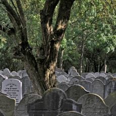
Nederlands-Israëlitische Begraafplaats: hoofdonderdeel
594 m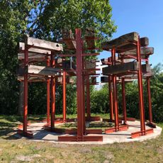
The fortress of Diemen
624 m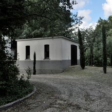
Nederlands-Israëlitische begraafplaats: berging
870 m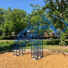
The blue elephant
1 km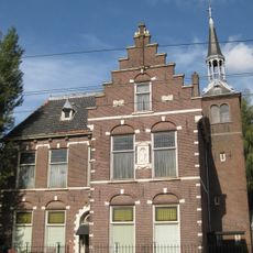
Pastorie St. Petrusbanden, Diemen
1 km
Bet-tahara at Jewish cemetery
621 m
Nederlands-Israëlitische Begraafplaats: woning
870 m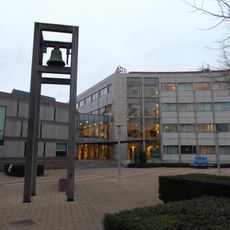
Klokkenstoel
743 mReviews
Visited this place? Tap the stars to rate it and share your experience / photos with the community! Try now! You can cancel it anytime.
Discover hidden gems everywhere you go!
From secret cafés to breathtaking viewpoints, skip the crowded tourist spots and find places that match your style. Our app makes it easy with voice search, smart filtering, route optimization, and insider tips from travelers worldwide. Download now for the complete mobile experience.

A unique approach to discovering new places❞
— Le Figaro
All the places worth exploring❞
— France Info
A tailor-made excursion in just a few clicks❞
— 20 Minutes