
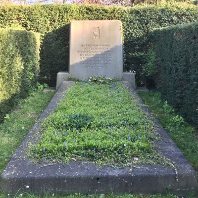
Mass grave for victims of the British mistake bombing of the Bezuidenhout district
Mass grave for victims of the British mistake bombing of the Bezuidenhout district, Mass grave for victims of the British mistake bombing in 1945 on the Bezuidenhout district
Location: The Hague
Inception: 1945
Official opening: March 3, 1951
Part of: The Hague General Cemetery, Bombing of the Bezuidenhout
GPS coordinates: 52.09477,4.30401
Latest update: September 25, 2025 07:35
The Hague General Cemetery
86 m
Delihofje
178 m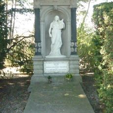
Grafmonument Bosboom-Toussaint
116 m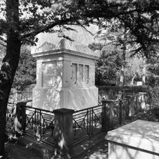
Grafmonument Ragay
134 m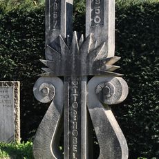
Graf van Otto Willem de Nobel
193 m
Hoge Banka
137 m
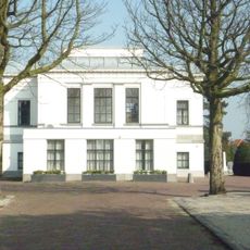
Herenhuis
178 m
Bankastraat 100, The Hague
195 m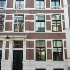
Bankastraat 128, The Hague
178 m
Ventje
216 m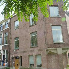
Koninginnegracht 146, The Hague
199 m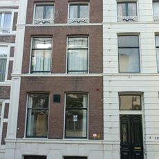
Bankastraat 110, The Hague
179 m
Bankastraat 132, The Hague
181 m
Bankaplein 3, The Hague
203 m
Bankastraat 130, The Hague
179 m
Bankastraat 122, The Hague
174 m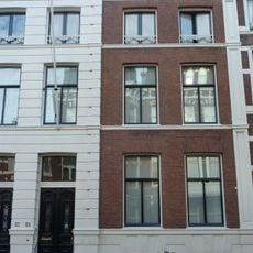
Bankastraat 124, The Hague
174 m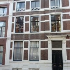
Bankastraat 126, The Hague
176 m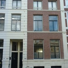
Bankastraat 112, The Hague
175 m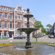
Fontein
198 m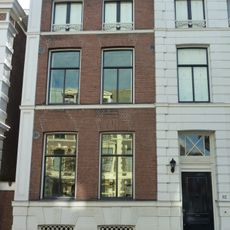
Bankastraat 102, The Hague
184 m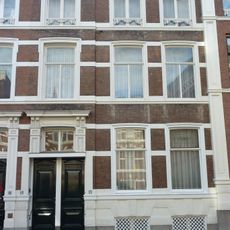
Bankastraat 118, The Hague
176 m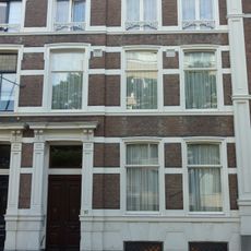
Bankastraat 108, The Hague
177 m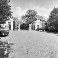
Twee Wachthuisjes en Hek van de Algemene Begraafplaats Kerkhoflaan
113 m
Grafmonument Nicolaas Emanuel Frederik von Gumoëns
103 m
Kerkhoflaan 12, The Hague
81 m
Bankastraat 106, The Hague
173 m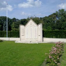
Monument op Algemene Begraafplaats
88 mReviews
Visited this place? Tap the stars to rate it and share your experience / photos with the community! Try now! You can cancel it anytime.
Discover hidden gems everywhere you go!
From secret cafés to breathtaking viewpoints, skip the crowded tourist spots and find places that match your style. Our app makes it easy with voice search, smart filtering, route optimization, and insider tips from travelers worldwide. Download now for the complete mobile experience.

A unique approach to discovering new places❞
— Le Figaro
All the places worth exploring❞
— France Info
A tailor-made excursion in just a few clicks❞
— 20 Minutes