
Joods monument, oorlogsmonument in Enter, Nederland
Location: Wierden
Inception: 1995
Official opening: May 5, 1995
Address: Bornebroekseweg, 7468 RM, Enter (Wierden), Overijssel, Nederland
GPS coordinates: 52.30120,6.60052
Latest update: March 5, 2025 23:03


Backenhagen
4.6 km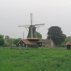
Pelmolen Ter Horst
4.8 km
Sint Stephanuskerk
3.9 km
Antonius Abtkerk (Enter)
1.9 km
Parkgebouw, Rijssen
5 km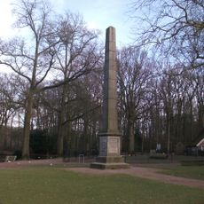
Gedenknaald Ter Horst
4.9 km
Hervormde kerk, Enter
1.6 km
Welberg
4.9 km
Rohaan, Enter
2.7 km
Klokkendijk 10, Notter
5.1 km
Poortgebouw
4.9 km
Witmoesdijk 20, Enter
3.3 km
Assink, Elsen
4.8 km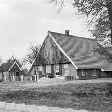
Bullenaarsweg 16, Wierden
2.9 km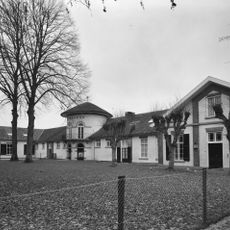
Persévérance, Deldenerbroek
4.6 km
De Tibbe
4.8 km
Dorpsstraat 48-48A, Enter
1.7 km
Oosterhof, Rijssen
4.5 km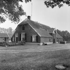
Bussinkweg 1, Notter
4.8 km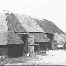
Kloosterhoeksweg 6, Wierden
3.6 km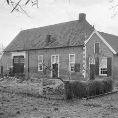
Kattelaar
1.9 km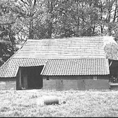
Grimbergerweg 2, Notter
4.9 km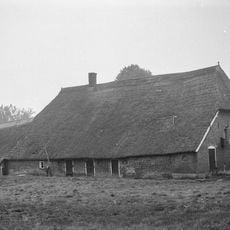
Enterbroekweg 10, Elsen
4.8 km
Voliere, Volkspark, Rijssen
5 km
Oosterhof: historische parkaanleg
4.6 km
Hagreis
4.2 km
De Wever
5.1 km
Oosterhof: tuinmuur
4.5 kmReviews
Visited this place? Tap the stars to rate it and share your experience / photos with the community! Try now! You can cancel it anytime.
Discover hidden gems everywhere you go!
From secret cafés to breathtaking viewpoints, skip the crowded tourist spots and find places that match your style. Our app makes it easy with voice search, smart filtering, route optimization, and insider tips from travelers worldwide. Download now for the complete mobile experience.

A unique approach to discovering new places❞
— Le Figaro
All the places worth exploring❞
— France Info
A tailor-made excursion in just a few clicks❞
— 20 Minutes