
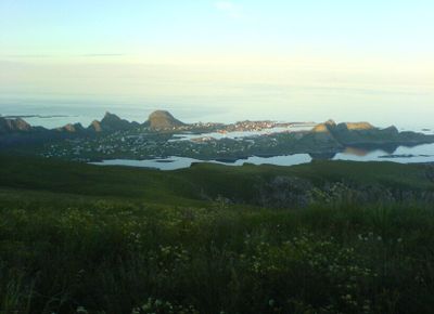
Værøy Heliport, heliport on the island of Værøya, Norway
Location: Værøy
Inception: 1997
Elevation above the sea: 5 m
Website: http://avinor.no/lufthavn/varoy
GPS coordinates: 67.65444,12.72694
Latest update: April 6, 2025 21:31
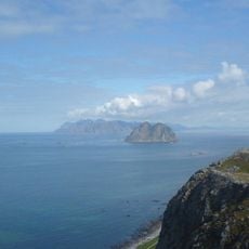
Mosken
10.4 km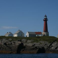
Skomvær Lighthouse
45.3 km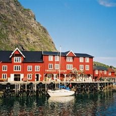
Lofoten Stockfish Museum
27.6 km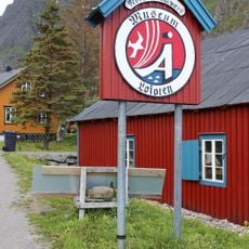
Norwegian Fishing Village Museum
27.5 km
Reinebringen
33.7 km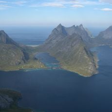
Kjerkfjorden
40.3 km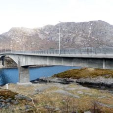
Kåkern Bridge
44.8 km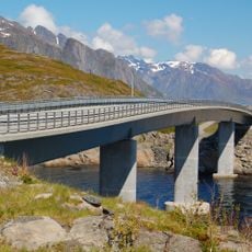
Djupfjord Bridge
32.4 km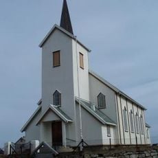
Røst Church
30 km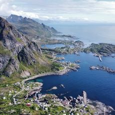
On south island
26.8 km
Reinefjorden
36.4 km
Bunesfjorden
36.3 km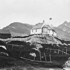
Værøy Lighthouse
420 m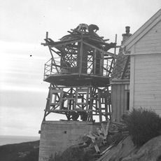
Glåpen Lighthouse
29 km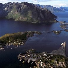
Reinebruggen
36.1 km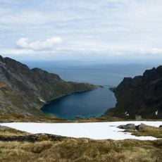
Djupfjorden
32.4 km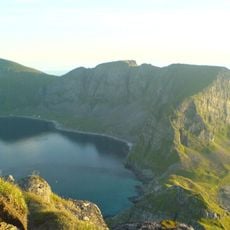
Måstadfjellet
7.6 km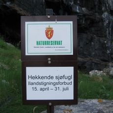
Måstadfjellet
5.8 km
Forsfjorden
34.8 km
Lofoten Tørrfiskmuseum
27.6 km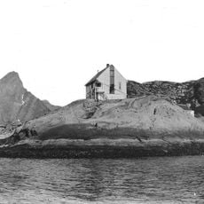
Reine fyr
35.3 km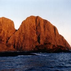
Lofotodden National Park
42.2 km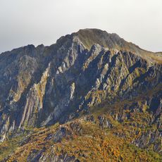
Lilandstinden
38.7 km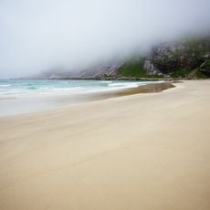
Bunes Beach
37.5 km
Breiflogtinden
40.8 km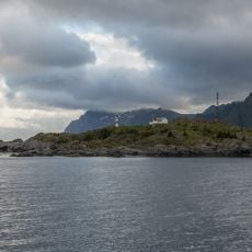
Glåpen Lighthouse
29 km
Narvtinden
44 km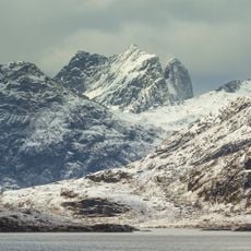
Kråkhammartinden
40.6 kmReviews
Visited this place? Tap the stars to rate it and share your experience / photos with the community! Try now! You can cancel it anytime.
Discover hidden gems everywhere you go!
From secret cafés to breathtaking viewpoints, skip the crowded tourist spots and find places that match your style. Our app makes it easy with voice search, smart filtering, route optimization, and insider tips from travelers worldwide. Download now for the complete mobile experience.

A unique approach to discovering new places❞
— Le Figaro
All the places worth exploring❞
— France Info
A tailor-made excursion in just a few clicks❞
— 20 Minutes