
Os, former municipality in Hordaland, Norway
Location: Hordaland
Capital city: Osøyro
Shares border with: Bergen Municipality, Samnanger, Fusa Municipality, Tysnes, Austevoll Municipality
Website: http://os.hordaland.no
GPS coordinates: 60.22694,5.47583
Latest update: March 3, 2025 00:16
Troldhaugen
13.1 km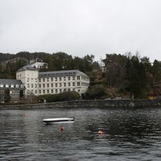
Kysthospitalet i Hagevik
6.9 km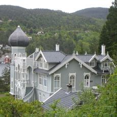
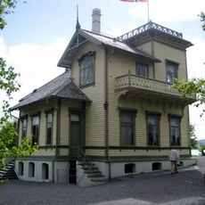
Villa d'Ole Bull
6.2 km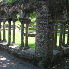
Lyse Abbey
3.9 km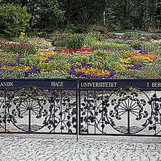
Bergen Arboretum and Botanical Garden, Milde
11.8 km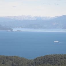
Bjørnafjorden
13.3 km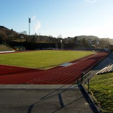
Fana Stadion
11.2 km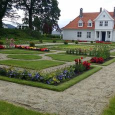
Stend hovedgård, Bergen
9.5 km
Hop oppveksttun skole
13 km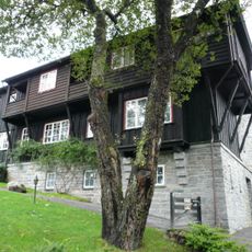
Siljustøl
11.9 km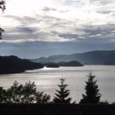
Lysefjorden
9.9 km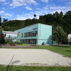
Rådalslien skole
10.9 km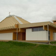
Søreide Church
14.9 km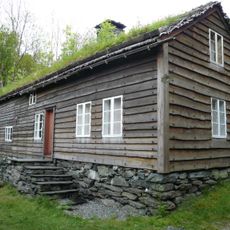
Hordamuseet
9.5 km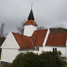
Lysekloster kapell
4.2 km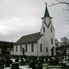
Os Church
4.5 km
Skjold Church
11.8 km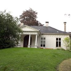
Wernersholm
13.5 km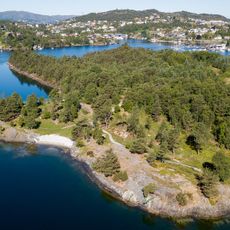
Kyrkjetangen
14.5 km
Fanafjorden
10 km
Fusafjorden
5.9 km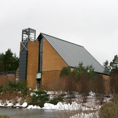
Nore Neset Church
6.5 km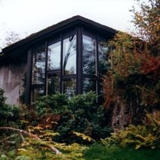
Troldsalen
13.1 km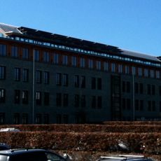
Telenorsenteret
13.8 km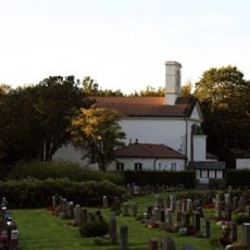
Øvsttun Kirkegård
11.4 km
Øvsttunheimen
11.1 km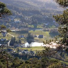
Bahus
4.1 km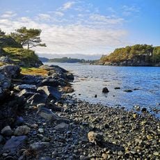
Ervikane
11.6 kmReviews
Visited this place? Tap the stars to rate it and share your experience / photos with the community! Try now! You can cancel it anytime.
Discover hidden gems everywhere you go!
From secret cafés to breathtaking viewpoints, skip the crowded tourist spots and find places that match your style. Our app makes it easy with voice search, smart filtering, route optimization, and insider tips from travelers worldwide. Download now for the complete mobile experience.

A unique approach to discovering new places❞
— Le Figaro
All the places worth exploring❞
— France Info
A tailor-made excursion in just a few clicks❞
— 20 Minutes