
Moltenuten, Berggipfel in Norwegen
Location: Kvinnherad Municipality
Elevation above the sea: 598 m
GPS coordinates: 59.78023,6.02712
Latest update: April 21, 2025 00:36
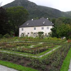
Barony Rosendal
23.4 km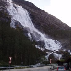
Langfossen
18.9 km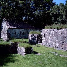
Halsnøy Abbey
20.9 km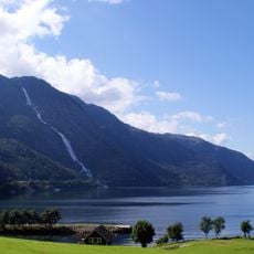
Åkrafjorden
9 km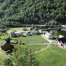
Fjæra
22.4 km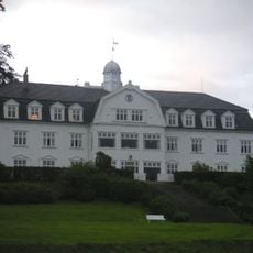
Sauda Fjordhotell
22 km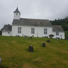
Åkra Church
4.3 km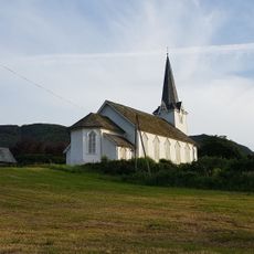
Skånevik Church
7.3 km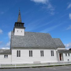
Uskedal Church
19.3 km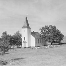
Bjoa Church
25 km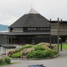
Valen Church
15.3 km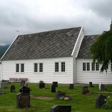
Grindheim Church
12.4 km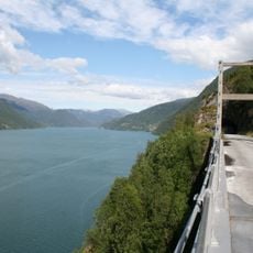
Trolljuv bru
7.3 km
Etnefjorden
18.7 km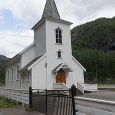
Fjæra Chapel
22.8 km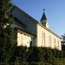
Ølen Church
23.4 km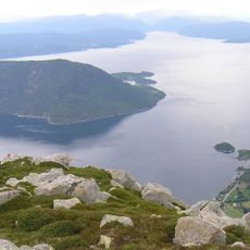
Kvinnheradsfjorden
25.1 km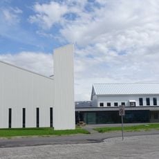
Etne Church
13.2 km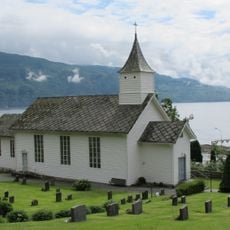
Holmedal Church
7 km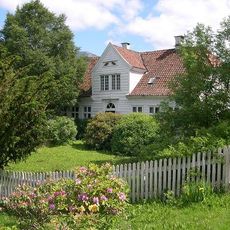
Kapteinsgården i Uskedal
19 km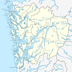
Ringeriksfossen
21.4 km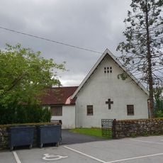
Solbrekk chapel
23.1 km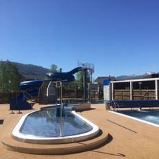
Saudahallen
23.5 km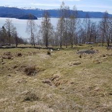
Holmedal Stave Church
6.2 km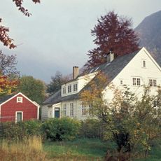
Malmanger manse
22.6 km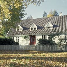
Fjelberg prestegård
18.5 km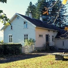
Etne manse
12.8 km
Skåla - Jensajordet, Lok. 1
23.2 kmReviews
Visited this place? Tap the stars to rate it and share your experience / photos with the community! Try now! You can cancel it anytime.
Discover hidden gems everywhere you go!
From secret cafés to breathtaking viewpoints, skip the crowded tourist spots and find places that match your style. Our app makes it easy with voice search, smart filtering, route optimization, and insider tips from travelers worldwide. Download now for the complete mobile experience.

A unique approach to discovering new places❞
— Le Figaro
All the places worth exploring❞
— France Info
A tailor-made excursion in just a few clicks❞
— 20 Minutes