
Under fossen, Wasserfall in Norwegen
Location: Kristiansand Municipality
Elevation above the sea: 215 m
GPS coordinates: 58.21629,7.84035
Latest update: March 13, 2025 20:06
Baneheia
11 km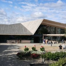
Vennesla Library and Culture House
9.7 km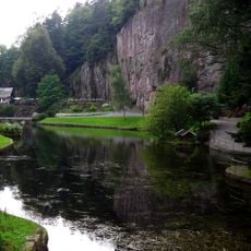
Ravnedalen
10.3 km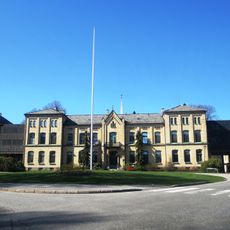
Eg Sykehus
11.4 km
Arkivet
11.5 km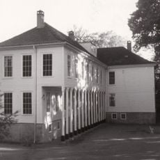
Gimle Gård
11.5 km
Agder Natural History Museum and Botanical Garden
11.5 km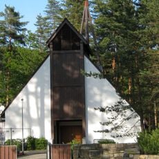
Torridal Church
5.4 km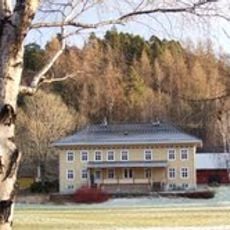
Vigeland hovedgård
7.7 km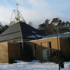
Justvik Church
11.4 km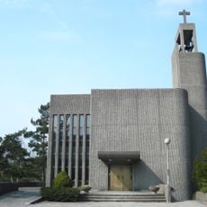
Grim Church
10.9 km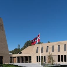
Vennesla Church
10.1 km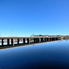
Oddernesbrua
11.5 km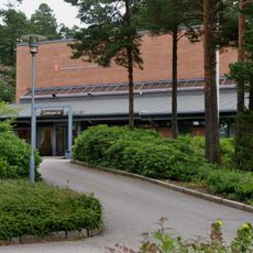
Regional State Archives in Kristiansand
11.7 km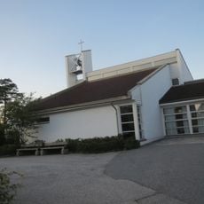
Hellemyr Church
9 km
Ekserserhuset
11.6 km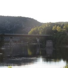
Kvarstein bru
5.7 km
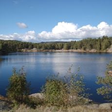
4. Revetjønn
9.9 km
Pudretthuset
10 km
1. Revetjønn
10 km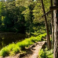
3. Revetjønn
9.9 km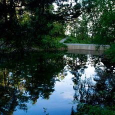
Bånetjønn
10.2 km
2. Revetjønn
10 km
2. Stampetjønn
11.3 km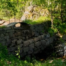
Arenfeldts dam
9.9 km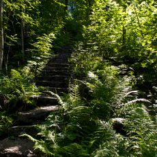
Tusentrappane
10.1 km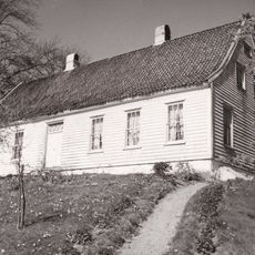
Greppestøl
11.5 km
ARENFELDTSV.2
11.5 kmReviews
Visited this place? Tap the stars to rate it and share your experience / photos with the community! Try now! You can cancel it anytime.
Discover hidden gems everywhere you go!
From secret cafés to breathtaking viewpoints, skip the crowded tourist spots and find places that match your style. Our app makes it easy with voice search, smart filtering, route optimization, and insider tips from travelers worldwide. Download now for the complete mobile experience.

A unique approach to discovering new places❞
— Le Figaro
All the places worth exploring❞
— France Info
A tailor-made excursion in just a few clicks❞
— 20 Minutes