
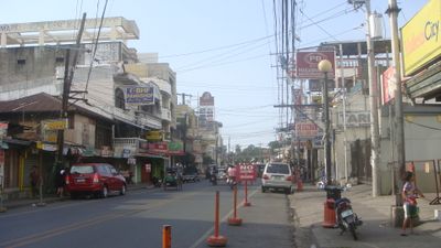
Mangaldan, municipality of the Philippines in the province of Pangasinan
Location: Pangasinan
Inception: June 2, 1600
Elevation above the sea: 7 m
Shares border with: San Fabian
Website: http://mangaldan.gov.ph
GPS coordinates: 16.07000,120.40250
Latest update: March 31, 2025 18:21
Our Lady of Manaoag
9.7 km
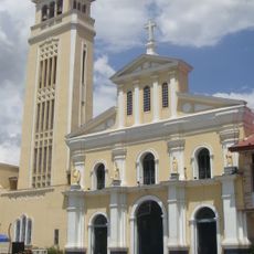
Manaoag Church
9.7 km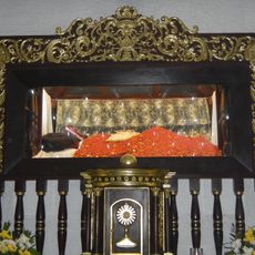
Apung Mamacalulu
27.5 km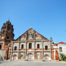
Parish Church of Saints Peter and Paul
20.7 km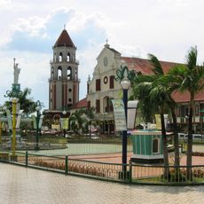
Saint Dominic de Guzman Parish Church
17.1 km
Pangasinan Provincial Capitol
18.7 km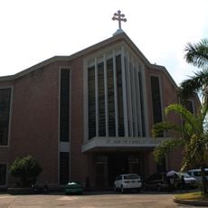
Metropolitan Cathedral of St. John the Evangelist
7.9 km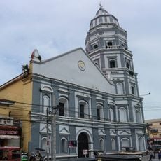
Epiphany of Our Lord Co-Cathedral Parish
19.1 km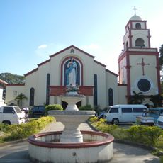
Urdaneta Cathedral
20.6 km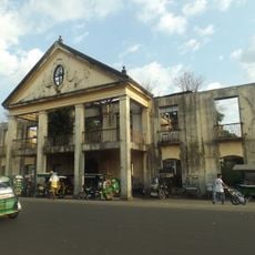
Casa Real
19.2 km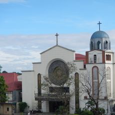
Saint Ildephonse of Seville Parish Church
16.8 km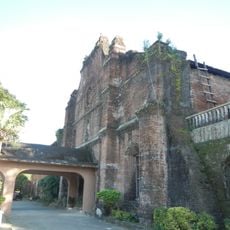
Our Lady of Lourdes Parish Church
22 km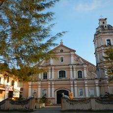
Saint Joseph the Patriarch Parish Church
26.7 km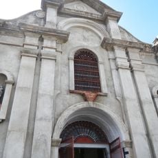
Dagupan Church
7.9 km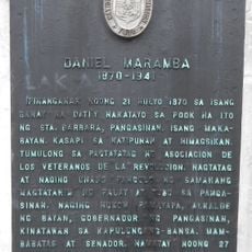
Daniel Maramba historical marker
7.7 km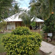
Sierra Vista Beach Resort
7 km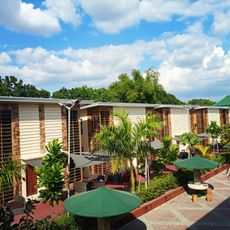
Silverconcha Wavepool Resort
25.3 km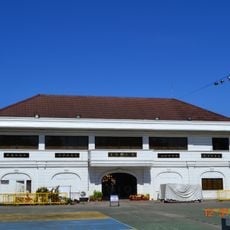
Dagupan City Museum
7.9 km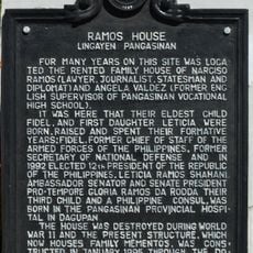
Ramos House historical marker
18.8 km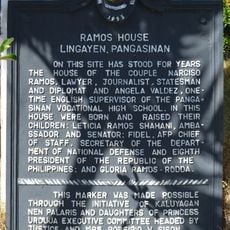
Ramos House historical marker
18.7 km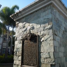
City of San Carlos historical marker
17.1 km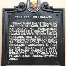
Casa Real of Lingayen historical marker
19.3 km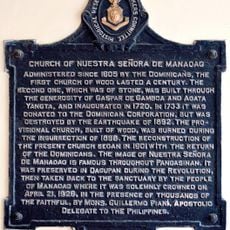
Church of Nuestra Señora de Manaoag historical marker
9.6 km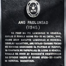
The Launch historical marker
18.7 km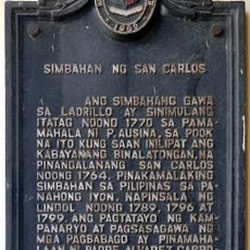
Church of San Carlos historical marker
17.1 km
Eugenio Perez y Padlan historical marker
24 km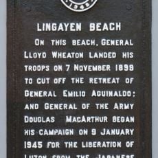
Lingayen Beach historical marker
18.7 km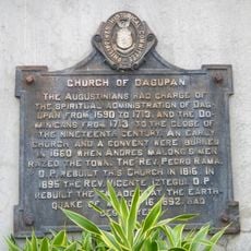
Church of Dagupan historical marker
7.8 kmVisited this place? Tap the stars to rate it and share your experience / photos with the community! Try now! You can cancel it anytime.
Discover hidden gems everywhere you go!
From secret cafés to breathtaking viewpoints, skip the crowded tourist spots and find places that match your style. Our app makes it easy with voice search, smart filtering, route optimization, and insider tips from travelers worldwide. Download now for the complete mobile experience.

A unique approach to discovering new places❞
— Le Figaro
All the places worth exploring❞
— France Info
A tailor-made excursion in just a few clicks❞
— 20 Minutes