
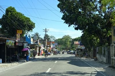
Alcantara, municipality of the Philippines in the province of Cebu
Location: Cebu
Inception: 1912
Elevation above the sea: 47 m
Shares border with: Ronda, Moalboal, Argao
GPS coordinates: 9.97153,123.40468
Latest update: March 8, 2025 12:46
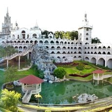
Simala Shrine
21.4 km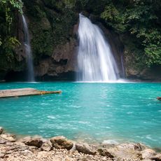
Kawasan Falls
19.2 km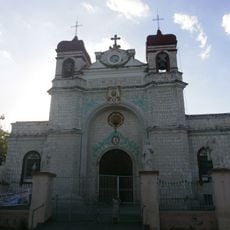
Archdiocesan Shrine of Saint Catherine of Alexandria
29.8 km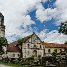
Archdiocesan Shrine of San Miguel Arcangel
24.4 km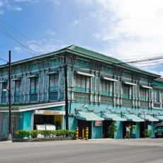
Mercado Mansion
29.9 km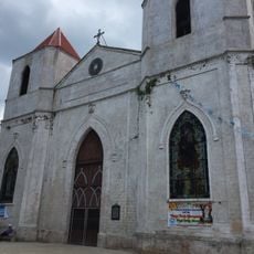
Our Lady of the Pillar Parish Church
24.1 km
San Miguel Arcangel Parish Church, Argao, Cebu
24.4 km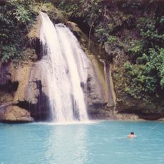
Cataratas de Kawasan
19.3 km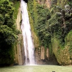
Mantayupan Falls
19.7 km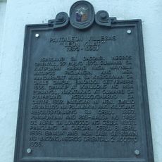
Pantaleon Villegas “Leon Kilat” historical marker
29.9 km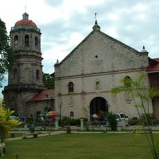
Dalaguete Church
27.3 km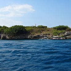
Pescador Island Lighthouse
8.6 km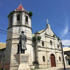
Malabuyoc Church
36.7 km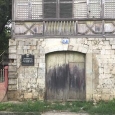
Ang Dakong Balay historical marker
29.9 km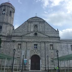
Dumanjug Church
10.1 km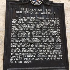
Church of Saint William of Aquitaine historical marker
27.3 km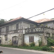
Don Florencio Noel House
29.9 km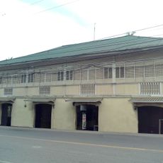
Silva House
29.9 km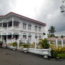
Carcar City Museum
29.9 km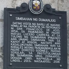
Church of Dumanjug historical marker
10.1 km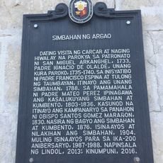
Church of Argao historical marker
24.4 km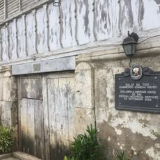
Balay na Tisa historical marker
29.9 km
Church of Sibonga historical marker
24.1 km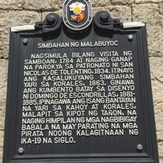
Church of Malabuyoc historical marker
36.7 km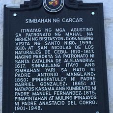
Church of Carcar historical marker
29.9 km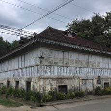
Sarmiento–Osmeña House
29.8 km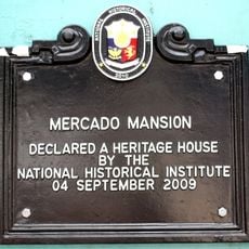
Mercado Mansion historical marker
29.9 km
Silva House historical marker
29.9 kmReviews
Visited this place? Tap the stars to rate it and share your experience / photos with the community! Try now! You can cancel it anytime.
Discover hidden gems everywhere you go!
From secret cafés to breathtaking viewpoints, skip the crowded tourist spots and find places that match your style. Our app makes it easy with voice search, smart filtering, route optimization, and insider tips from travelers worldwide. Download now for the complete mobile experience.

A unique approach to discovering new places❞
— Le Figaro
All the places worth exploring❞
— France Info
A tailor-made excursion in just a few clicks❞
— 20 Minutes