
Panukulan, municipality of the Philippines in the province of Quezon
Location: Quezon
Inception: June 21, 1959
Elevation above the sea: 9 m
Shares border with: Infanta, Burdeos, Polillo
Website: http://panukulan.gov.ph
GPS coordinates: 14.93333,121.81667
Latest update: March 7, 2025 20:28
Wawa Dam
71 km
Masungi Georeserve
63.1 km
Avilon Zoo
74.6 km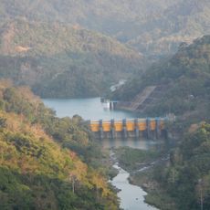
Ipo Dam
72.1 km
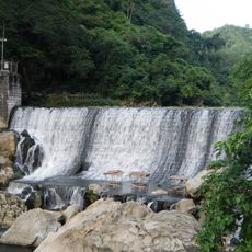
Daranak Falls
32.5 km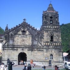
Paete Church
72.9 km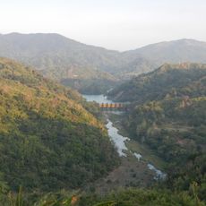
Angat Watershed Forest Reserve
67.2 km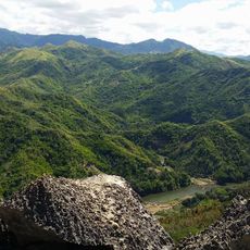
Pamitinan Protected Landscape
71.1 km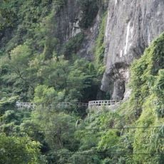
Pamitinan Cave
71.1 km
Upper Marikina River Basin Protected Landscape
71.1 km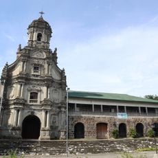
Morong Church
74.7 km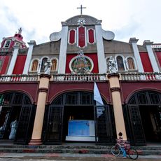
Siniloan Church
69.5 km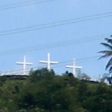
Three Crosses of Paete
72.3 km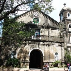
Cainta Church
85.2 km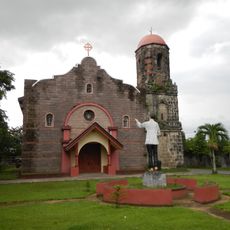
Mabitac Church
70.3 km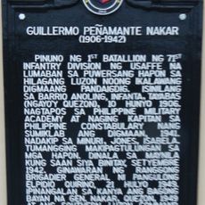
Guillermo Peñamante Nakar historical marker
28.8 km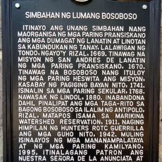
Church of Old Bosoboso historical marker
70.3 km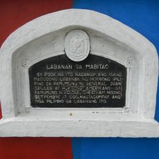
Battle of Mabitac historical marker
70 km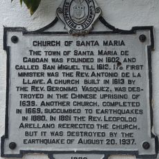
Church of Santa Maria historical marker
66.7 km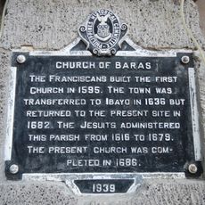
Church of Baras historical marker
74.7 km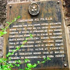
Pililla Church historical marker
74.6 km
Infanta Cathedral
27.5 km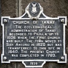
Church of Tanay historical marker
75 km
General Nakar Municipal Hall
28.8 km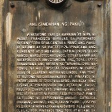
The Church of Pakil historical marker
71.5 km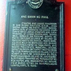
The Town of Pakil historical marker
71.4 km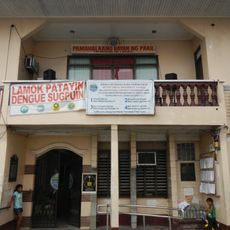
Pakil Municipal Hall
71.4 km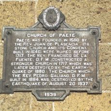
Church of Paete historical marker
72.9 kmVisited this place? Tap the stars to rate it and share your experience / photos with the community! Try now! You can cancel it anytime.
Discover hidden gems everywhere you go!
From secret cafés to breathtaking viewpoints, skip the crowded tourist spots and find places that match your style. Our app makes it easy with voice search, smart filtering, route optimization, and insider tips from travelers worldwide. Download now for the complete mobile experience.

A unique approach to discovering new places❞
— Le Figaro
All the places worth exploring❞
— France Info
A tailor-made excursion in just a few clicks❞
— 20 Minutes