
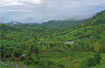
Candoni, municipality of the Philippines in the province of Negros Occidental
Location: Negros Occidental
Inception: 1958
Elevation above the sea: 252 m
Shares border with: Sipalay
GPS coordinates: 9.81667,122.60000
Latest update: March 7, 2025 21:50
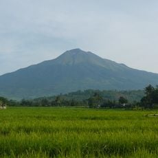
Kanlaon Volcano
88.2 km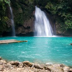
Kawasan Falls
84.9 km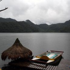
Balinsasayao Twin Lakes Natural Park
81 km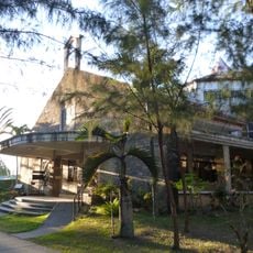
Our Lady of the Philippines Trappist Monastery
84.9 km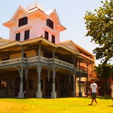
Silliman Hall
96.1 km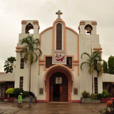
Kabankalan Cathedral
30.4 km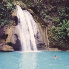
Cataratas de Kawasan
85 km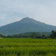
Parco naturale del monte Kanla-on
88.8 km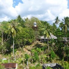
Guisi Point lighthouse
75.6 km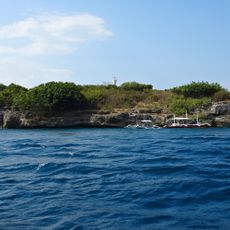
Pescador Island Lighthouse
82.4 km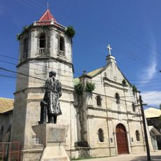
Malabuyoc Church
81.6 km
Graceland
95 km
Vilches Beach Resort
92.7 km
Dumanjug Church
95.4 km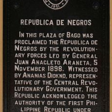
Republica de Negros historical marker
84.2 km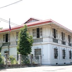
Balay ni Tan Juan
83.9 km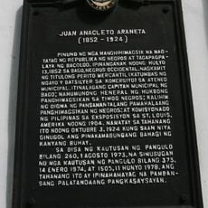
Juan Anacleto Araneta historical marker
83.9 km
Silliman University historical marker
96 km
Eden South Beach Resort
28.5 km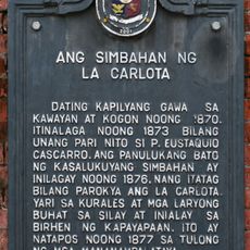
La Carlota Church historical marker
76.4 km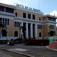
La Carlota City Hall
76.5 km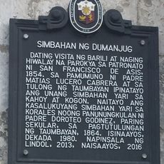
Church of Dumanjug historical marker
95.4 km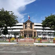
Manuel Y. Torres Memorial Coliseum and Cultural Center
84.3 km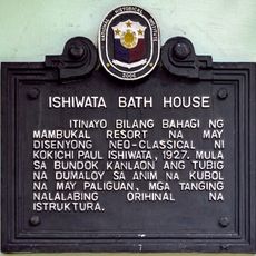
Ishiwata Bath House historical marker
95.1 km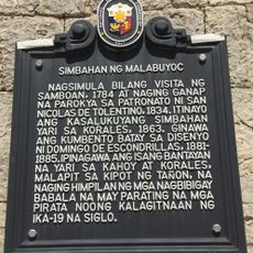
Church of Malabuyoc historical marker
81.5 km
Ishiwata Bath House
95.1 km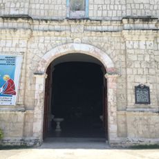
Church of Samboan historical marker
83.9 km
Negros Oriental State University historical marker
95.5 kmReviews
Visited this place? Tap the stars to rate it and share your experience / photos with the community! Try now! You can cancel it anytime.
Discover hidden gems everywhere you go!
From secret cafés to breathtaking viewpoints, skip the crowded tourist spots and find places that match your style. Our app makes it easy with voice search, smart filtering, route optimization, and insider tips from travelers worldwide. Download now for the complete mobile experience.

A unique approach to discovering new places❞
— Le Figaro
All the places worth exploring❞
— France Info
A tailor-made excursion in just a few clicks❞
— 20 Minutes