
Mount Solitario, Berggipfel auf den Philippinen
Location: Negros Occidental
Elevation above the sea: 61 m
GPS coordinates: 10.80889,123.46972
Latest update: June 16, 2025 05:47
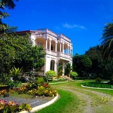
Hacienda Rosalia
37.2 km
Northern Negros Natural Park
33.9 km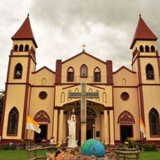
San Carlos Cathedral
36.9 km
Bernardino Jalandoni House Museum
53.8 km
Ogtong Cave Resort
52 km
Paradise Beach
50.6 km
White Beach Resort
44.3 km
Yooneek Beach Resort
53 km
Sugar Beach
52.6 km
Graceland
51.8 km
Adventure Cafe
53.9 km
Mayeth Beach Resort
52.3 km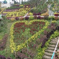
JVR Island in the Sky Resort
53.8 km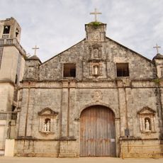
Saints Peter and Paul Parish Church
48.3 km
Vicente Conlu Montelibano Ancestral House
53.9 km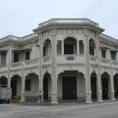
Maria Ledesma Golez House
53.9 km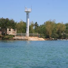
Bantayan Lighthouse
49.4 km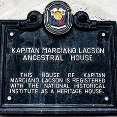
Kapitan Marciano Lacson Ancestral House historical marker
54 km
Monbase
22.5 km
Marciano Montelibano Lacson Ancestral House
54 km
Manuel de la Rama Locsin Ancestral House
54 km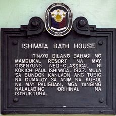
Ishiwata Bath House historical marker
51.9 km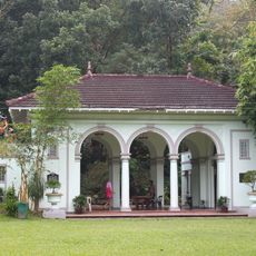
Ishiwata Bath House
51.9 km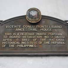
Vicente Conlu Montelibano Ancestral House historical marker
53.9 km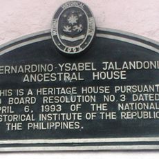
Bernardino–Ysabel Jalandoni Ancestral House historical marker
53.9 km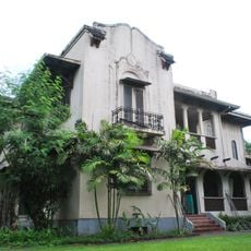
German Locsin Unson Ancestral House
53.9 km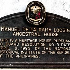
Manuel de la Rama Locsin Ancestral House historical marker
54 km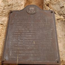
The Church of Bantayan historical marker
48.3 kmReviews
Visited this place? Tap the stars to rate it and share your experience / photos with the community! Try now! You can cancel it anytime.
Discover hidden gems everywhere you go!
From secret cafés to breathtaking viewpoints, skip the crowded tourist spots and find places that match your style. Our app makes it easy with voice search, smart filtering, route optimization, and insider tips from travelers worldwide. Download now for the complete mobile experience.

A unique approach to discovering new places❞
— Le Figaro
All the places worth exploring❞
— France Info
A tailor-made excursion in just a few clicks❞
— 20 Minutes