
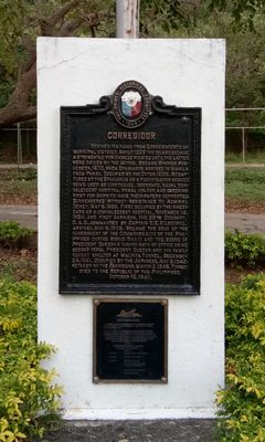
Corregidor historical marker
Corregidor historical marker, PHC historical marker for Corregidor
Location: Cavite City
Inception: 1949
Creator: National Historical Commission of the Philippines
Address: Gen. Jonathan M. Wainright Memorial Park, Bottomside
GPS coordinates: 14.38635,120.58853
Latest update: March 7, 2025 23:16
Mount Pico de Loro
19.8 km
Mount Mariveles
19.6 km
Fort Hughes
3.7 km
Fort Mills
2.4 km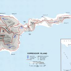
Fort Frank
13.6 km
Paco Church
4.7 km
Bonifacio Trial House
20.3 km
Nuestra Señora del Buen Suceso de Parañaque
9.6 km
Corregidor Island lighthouse
1.5 km
Casa Hacienda de Naic
20.2 km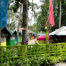
Ternate Beach Resort
16.8 km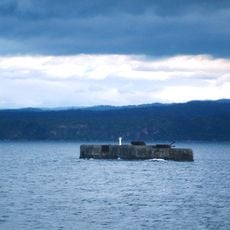
Phare de Fort Drum
10.1 km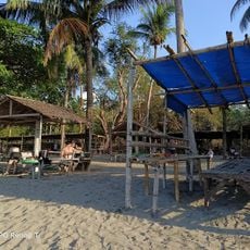
Paniman Beach
14.4 km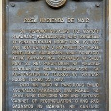
Casa Hacienda de Naic historical marker
20.3 km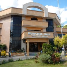
Mariveles Municipal Hall
11.9 km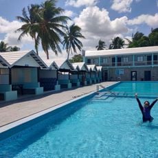
Seaside Beach Resort
19.1 km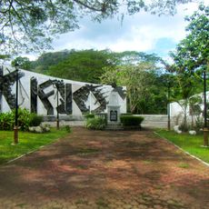
Mount Nagpatong historical marker
19.6 km
Bonifacio Shrine and Eco-Tourism Park
19.6 km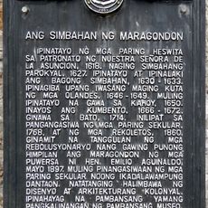
The Church of Maragondon historical marker
20 km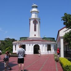
Corregidor Island lighthouse
1.4 km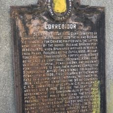
Corregidor historical marker
12.3 km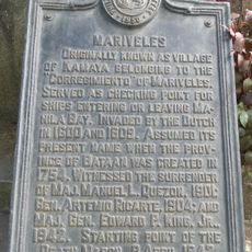
Mariveles historical marker
11.9 km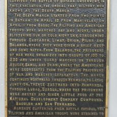
The Death March of Filipino and American Prisoners of War from Mariveles and Bagac to Camp O’Donnell, Capas, Tarlac historical markers
11.9 km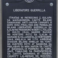
Liberators Guerrilla historical marker
20.1 km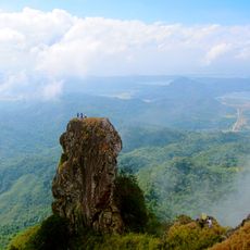
Parrot's Beak
20.2 km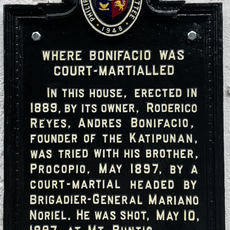
Where Bonifacio was Court-Martialled historical marker
20.3 km
Douglas MacArthur's Statue
238 m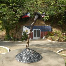
World War II Death March Memorial Shrine
11.9 kmReviews
Visited this place? Tap the stars to rate it and share your experience / photos with the community! Try now! You can cancel it anytime.
Discover hidden gems everywhere you go!
From secret cafés to breathtaking viewpoints, skip the crowded tourist spots and find places that match your style. Our app makes it easy with voice search, smart filtering, route optimization, and insider tips from travelers worldwide. Download now for the complete mobile experience.

A unique approach to discovering new places❞
— Le Figaro
All the places worth exploring❞
— France Info
A tailor-made excursion in just a few clicks❞
— 20 Minutes