
National road 32, Polish national road 32
Location: Lubusz Voivodeship
Location: Greater Poland Voivodeship
GPS coordinates: 52.09540,15.68760
Latest update: March 14, 2025 03:22
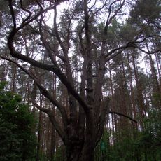
Sosna Waligóra
1.2 km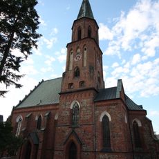
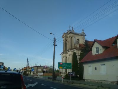
Exaltation of the Holy Cross church in Sulechów
4.5 km
Glacial erratic on Wojska Polskiego street in Sulechów
4.2 km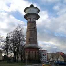
Water tower in Sulechów
4.2 km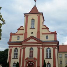
Zbór kalwiński w Sulechowie
4.2 km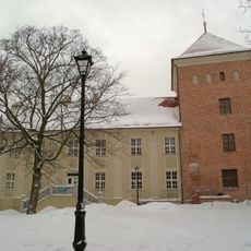
Castle in Sulechów
4.2 km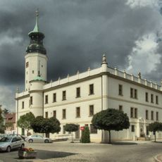
Sulechów Town Hall
4.4 km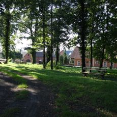
Cmentarz z aleją lipową w Klępsku
3.1 km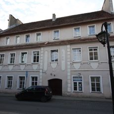
5 Handlowa Street in Sulechów
4.5 km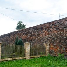
Defensive walls in Sulechów
4.3 km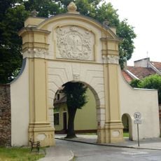
Krosno gate
4.5 km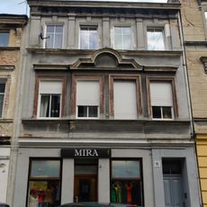
13 Łukasiewicza Street in Sulechów
4.3 km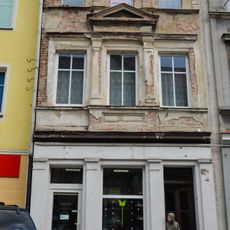
12 Łukasiewicza Street in Sulechów
4.3 km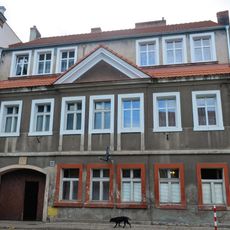
14 Okrężna Street in Sulechów
4.5 km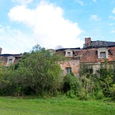
Manor in Okunin
2.8 km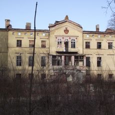
Pałac w Łęgowie
3.8 km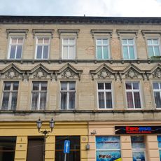
14 Łukasiewicza Street in Sulechów
4.3 km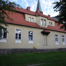
4 Okrężna Street in Sulechów
4.5 km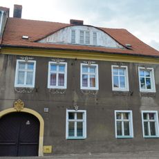
13 Okrężna Street in Sulechów
4.5 km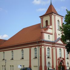
Former Protestant church in Sulechów
4.3 km
7 Ratuszowy Square in Sulechów
4.3 km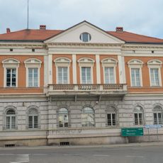
4 Wielkopolska Street in Sulechów
4.2 km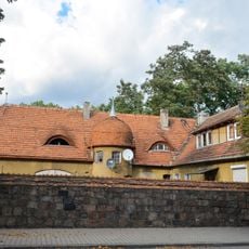
21a Zwycięstwa Street in Sulechów
4.5 km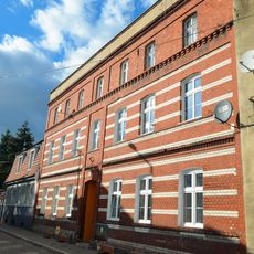
25 Zwycięstwa Street in Sulechów
4.4 km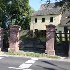
Ogrodzenie z bramami
3.1 km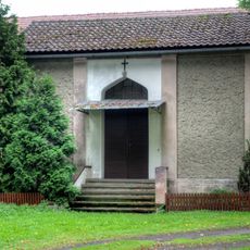
Kaplica grobowa rodziny Philipsborn w Klępsku
3.1 km
5 Szkolna Street in Sulechów
4.2 km
Kościół ewangelicki, ob. rzym.-kat. Nawiedzenia NMP
3.1 kmReviews
Visited this place? Tap the stars to rate it and share your experience / photos with the community! Try now! You can cancel it anytime.
Discover hidden gems everywhere you go!
From secret cafés to breathtaking viewpoints, skip the crowded tourist spots and find places that match your style. Our app makes it easy with voice search, smart filtering, route optimization, and insider tips from travelers worldwide. Download now for the complete mobile experience.

A unique approach to discovering new places❞
— Le Figaro
All the places worth exploring❞
— France Info
A tailor-made excursion in just a few clicks❞
— 20 Minutes