
Czernichów, Silesian Voivodeship, village in Silesian, Poland
Location: Gmina Czernichów
Elevation above the sea: 322 m
GPS coordinates: 49.75000,19.20000
Latest update: March 4, 2025 11:05

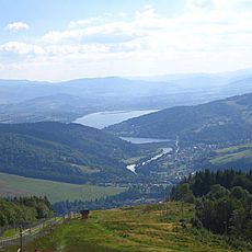
Little Beskids
4.3 km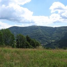
Czupel Wilkowicki
3.4 km
Kozubnik
5.8 km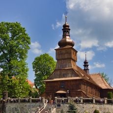
Saints Simon and Jude church in Łodygowice
4.3 km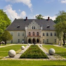
Manor house in Łodygowice
4.7 km
Rogacz
2.9 km
Rogacz
2.9 km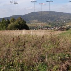
Kościelec
2.5 km
Jaworzyna
3.3 km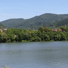
Cisowa Grapa
5.7 km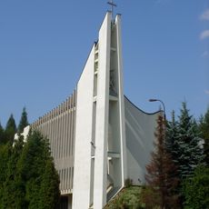
Saint Maximilian Kolbe church in Żywiec
3.5 km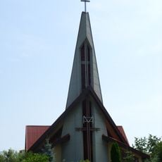
Divine Mercy church in Żywiec
5.6 km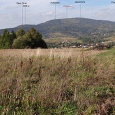
Stary Groń
2.4 km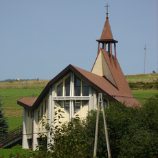
Kaplica Matki Boskiej Różańcowej w Żywcu
4.1 km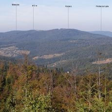
Maleckie
4.9 km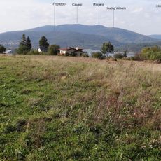
Suchy Wierch (Beskid Mały)
2 km
Przyszop
1.4 km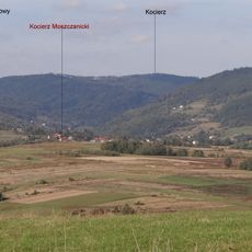
Przykrzyca
5.9 km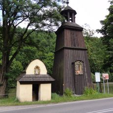
Wooden bell tower in Czernichów
1.3 km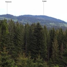
Groniczek
4.7 km
Kiczera (Beskid Mały)
5.8 km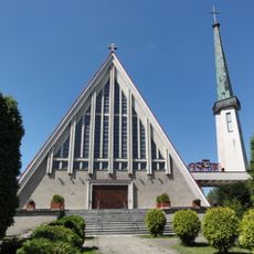
Saint Stanislaus church in Łodygowice
5.2 km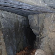
Wietrzna Dziura w Magurce
4.9 km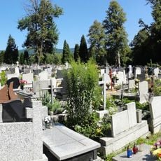
Parish cemetery in Łodygowice
4.2 km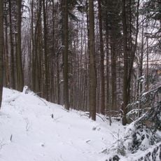
Nature reserve Szeroka
5.6 km
Zespół kapliczki w Czernichowie
1.3 km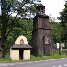
Brick chapel in Czernichów
1.3 km
Kaplica św. Wita w Żywcu
4.7 kmReviews
Visited this place? Tap the stars to rate it and share your experience / photos with the community! Try now! You can cancel it anytime.
Discover hidden gems everywhere you go!
From secret cafés to breathtaking viewpoints, skip the crowded tourist spots and find places that match your style. Our app makes it easy with voice search, smart filtering, route optimization, and insider tips from travelers worldwide. Download now for the complete mobile experience.

A unique approach to discovering new places❞
— Le Figaro
All the places worth exploring❞
— France Info
A tailor-made excursion in just a few clicks❞
— 20 Minutes