
Bieńkowice, Silesian Voivodeship, village in Silesian Voivodeship, Poland
Location: Gmina Krzyżanowice
Elevation above the sea: 215 m
GPS coordinates: 50.02278,18.21389
Latest update: March 10, 2025 22:41
Racibórz Dolny
3.5 km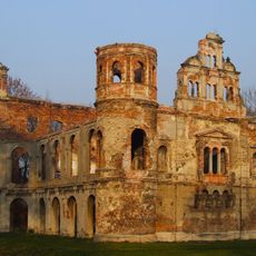
Tworków Palace
2.1 km
Hranečník
5.5 km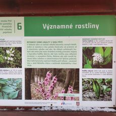
Náučny chodník Píšť
5.1 km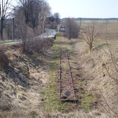
Railway Krzanowice-Chuchelná border crossing
3.6 km
WOP post in Owsiszcze
4.9 km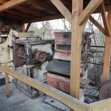
Mill in Tworków
1.6 km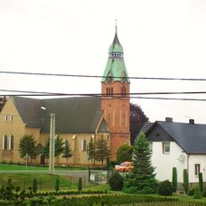
Holy Cross church in Racibórz
5.5 km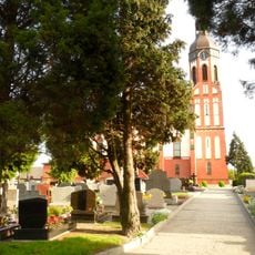
Kościół Matki Bożej Różańcowej w Raciborzu
3.9 km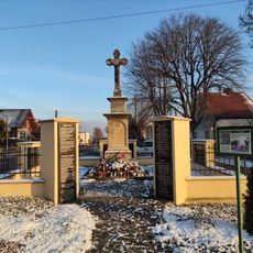
Krzyż - pomnik poległym na wojnie (Bieńkowice)
120 m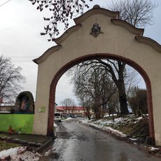
Borucin Manor Gate, gmina Krzanowice
4 km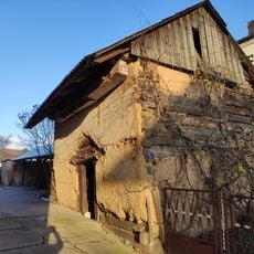
Hambar in Bieńkowice
433 m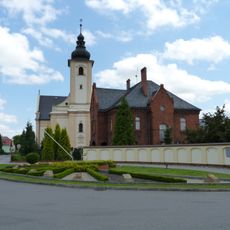
Parkové sluneční hodiny v Píšti u kostela svatého Vavřince
5.1 km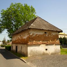
A wooden-brick old granary in Racibórz
3.8 km
Erratic block Tworków
2.5 km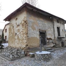
Hambar Bolesław (centrum)
2 km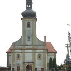
Kościół Podwyższenia Krzyża Świętego w Wojnowicach
5.6 km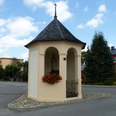
Chapel of Saint John of Nepomuk (Píšť)
5.1 km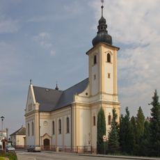
Church of Saint Lawrence
5.1 km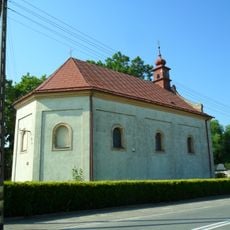
Saint Nicholas church in Krzanowice
5.7 km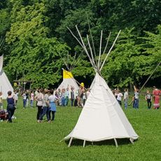
Wioska indiańska MATO
1.5 km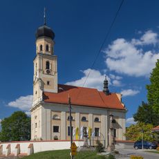
Saints Peter and Paul church in Tworków
2.2 km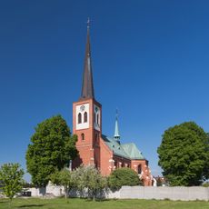
Saint Augustinus church in Borucin
4.7 km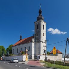
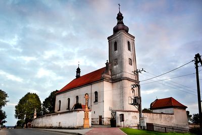
All Saints church in Bieńkowice
42 m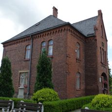
Fara Píšť
5.1 km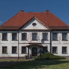
Rectory in Bieńkowice
73 m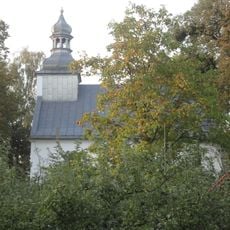
Saint Urban chapel in Tworków
3 km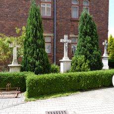
Kříž v Píšti u kostela svatého Vavřince vpravo
5.1 kmReviews
Visited this place? Tap the stars to rate it and share your experience / photos with the community! Try now! You can cancel it anytime.
Discover hidden gems everywhere you go!
From secret cafés to breathtaking viewpoints, skip the crowded tourist spots and find places that match your style. Our app makes it easy with voice search, smart filtering, route optimization, and insider tips from travelers worldwide. Download now for the complete mobile experience.

A unique approach to discovering new places❞
— Le Figaro
All the places worth exploring❞
— France Info
A tailor-made excursion in just a few clicks❞
— 20 Minutes