
Barbarki, settlement in Greater Poland, Poland
Location: Gmina Śrem
Elevation above the sea: 90 m
GPS coordinates: 52.08333,16.90000
Latest update: March 5, 2025 14:45
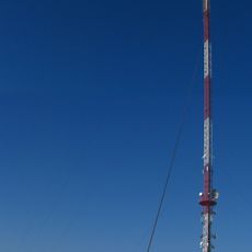
Śrem Transmitter
6.9 km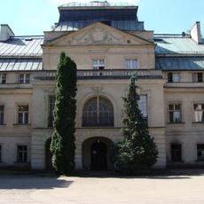
Palace in Turew
6.1 km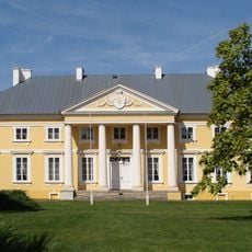
Chłapowski Landscape Park
6.7 km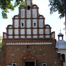
Saints Peter and Paul church in Rąbiń
4.8 km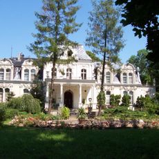
Błociszewo Palace
342 m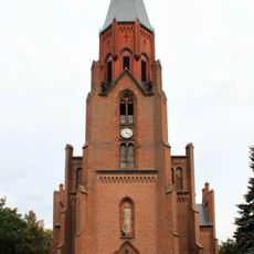
Saint Catherine church in Brodnica, Greater Poland
6.5 km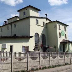
Muzeum Gorzelnictwa w Turwi
4.9 km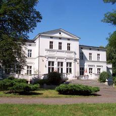
Brodnica Palace
6.5 km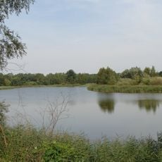
Zalew Śremski
5.8 km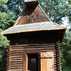
Las Rąbiński
2.5 km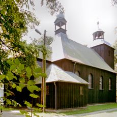
Saint Michael Archangel church in Błociszewo
266 m
Church of Saint Adalbert in Dalewo
6.9 km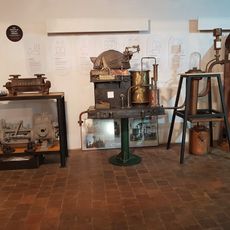
Gorzelnia i Muzeum Turew
6 km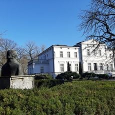
Pałac Mańkowskich
6.5 km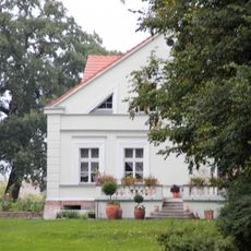
Manor in Grabianowo
3.9 km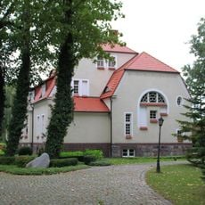
Manor in Chaławy
5.8 km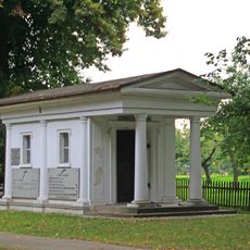
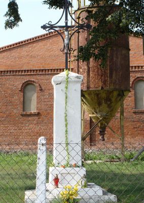
Kaplica grobowa rodziny Kęszyckich, ob. kostnica
260 m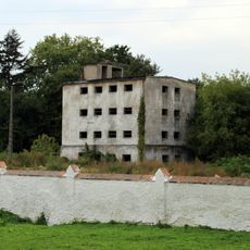
Magazyn zbożowy
5.9 km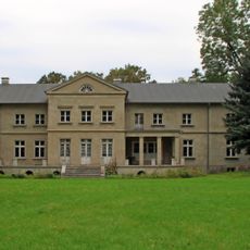
Manor house in Szołdry
6.9 km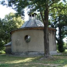
Chapel of the Nativity of the Virgin Mary in Manieczki
4 km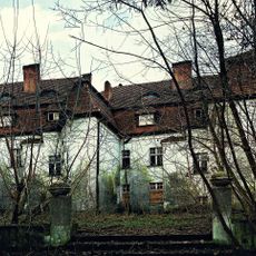
Palace in Przylepki
5.9 km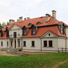
Dwór, XVIII/XIX
7.5 km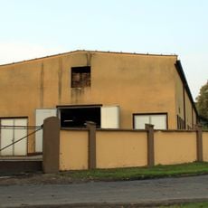
Stajnia
7.8 km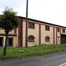
Granary in Chaławy
5.7 km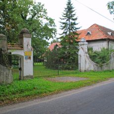
Ogrodzenie z główną bramą wjazdową
5.7 km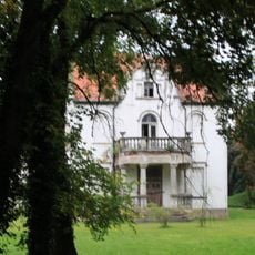
Manor in Piotrowo
5.8 km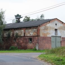
Stajnia
5.7 km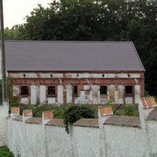
Stajnia
5.9 kmReviews
Visited this place? Tap the stars to rate it and share your experience / photos with the community! Try now! You can cancel it anytime.
Discover hidden gems everywhere you go!
From secret cafés to breathtaking viewpoints, skip the crowded tourist spots and find places that match your style. Our app makes it easy with voice search, smart filtering, route optimization, and insider tips from travelers worldwide. Download now for the complete mobile experience.

A unique approach to discovering new places❞
— Le Figaro
All the places worth exploring❞
— France Info
A tailor-made excursion in just a few clicks❞
— 20 Minutes