
Miłkowice, Greater Poland Voivodeship, village in Greater Poland, Poland
Location: Gmina Dobra, Greater Poland Voivodeship
Elevation above the sea: 132 m
GPS coordinates: 51.83330,18.66670
Latest update: March 18, 2025 12:28
Nature reserve Jeziorsko
9.3 km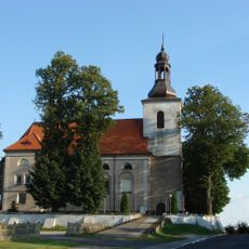
Saints Martin and Stanislaus church in Goszczanów
12.2 km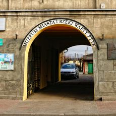
City museum and the Warta River
14 km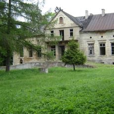
Manor in Gozdów
12.2 km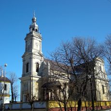
Church of the Nativity of the Virgin Mary in Dobra
9.8 km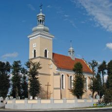
Saint Margaret of Antioch church in Zadzim
14.2 km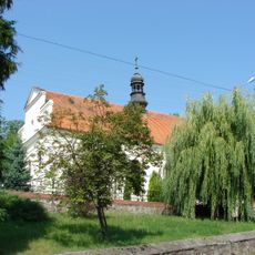
Holy Trinity church in Skęczniew
4.7 km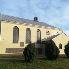
Church of Saint Matthias in Głuchów
7.9 km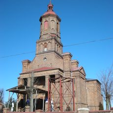
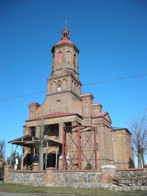
Saint Nicholas church in Miłkowice
120 m
Saint Michael Archangel church in Niemysłów
10.8 km
Saint Andrew the Apostle church in Tokary
10.3 km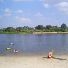
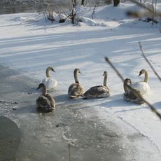
Jeziorsko
4.9 km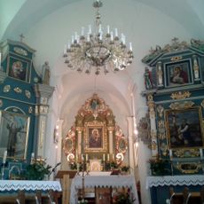
Saint Mark church in Siedlątków
3.8 km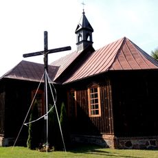
Saint Stanislaus church in Brodnia
5.7 km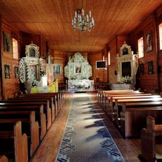
Saint Catherine church in Pęczniew
5 km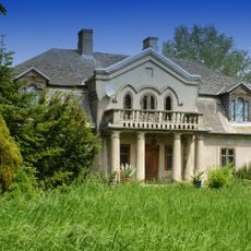
Manor in Cielce
13 km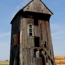
Windmill in Zagórki
8 km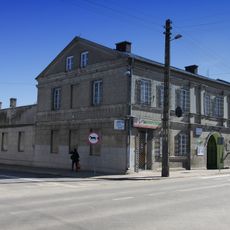
Tenement house at 20 Stycznia 26 Street in Warta
14 km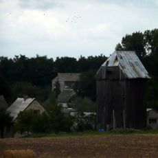
Post mill in Siedlątków
4 km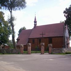
Zespół kościoła św. Katarzyny
5 km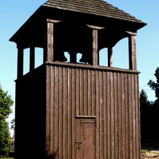
Bell tower in Brodnia
5.7 km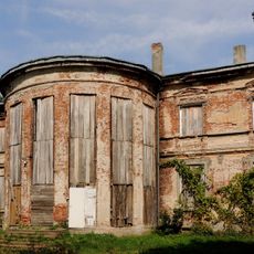
Palace in Zadzim
13.8 km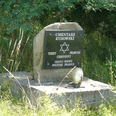
Nowy cmentarz żydowski w Dobrej
9 km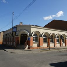
Warckie Centrum Kultury
14.2 km
Dwór w Ustkowie
8.8 km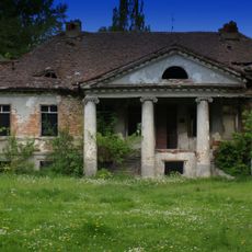
Manor in Ustków
8.9 km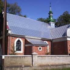
Kaplica Aniołów Stróżów (przy kościele św. Michała Archanioła) w Niemysłowie
11.1 km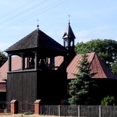
Zespół kościoła św. Stanisława Biskupa
5.7 kmVisited this place? Tap the stars to rate it and share your experience / photos with the community! Try now! You can cancel it anytime.
Discover hidden gems everywhere you go!
From secret cafés to breathtaking viewpoints, skip the crowded tourist spots and find places that match your style. Our app makes it easy with voice search, smart filtering, route optimization, and insider tips from travelers worldwide. Download now for the complete mobile experience.

A unique approach to discovering new places❞
— Le Figaro
All the places worth exploring❞
— France Info
A tailor-made excursion in just a few clicks❞
— 20 Minutes