
Lampartopol
Location: Kopanica, Greater Poland Voivodeship
Inception: 1641
GPS coordinates: 52.09310,15.91750
Latest update: March 10, 2025 07:42
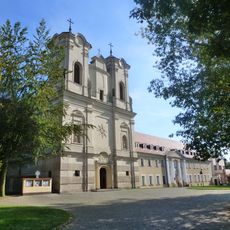
Saint James church in Obra
8.8 km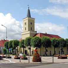
Kargowa town hall
4.6 km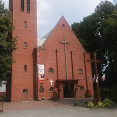
Kościół św. Wojciecha w Kargowej
4.9 km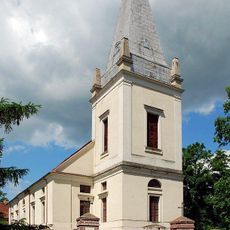
Kościół św. Maksymiliana Marii Kolbe w Kargowej
4.3 km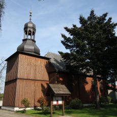
Saint Valentine church in Obra
9 km
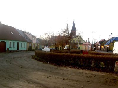
Former protestant church in Kopanica
137 m
Saint Peter in chains church in Chobienice
8.1 km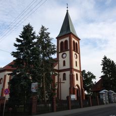
Church of the Assumption in Kopanica
140 m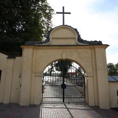
Bramka na cmentarz kościelny, poł. XVIII
7.7 km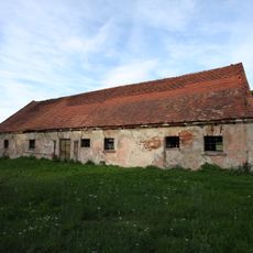
Granary in Kargowa
4 km
Maximilian Kolbe church in Kargowa
4.3 km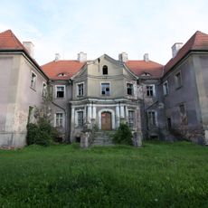
Pałac w Kargowej
3.9 km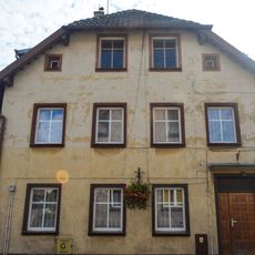
12, 27 Stycznia Street in Kargowa
4.4 km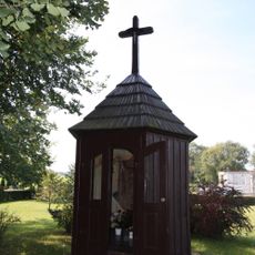
Saint Anna chapel in Obra
8.9 km
5, 27 Stycznia Street in Kargowa
4.5 km
Gorzelnia
9.2 km
19, 27 Stycznia Street in Kargowa
4.4 km
18, 27 Stycznia Street in Kargowa
4.3 km
Cemetery in Obra
9 km
Spichrz
9.1 km
144-145 Chobienice
7.8 km
15, 27 Stycznia Street in Kargowa
4.4 km
14, 27 Stycznia Street in Kargowa
4.4 km
Oficyna
8.3 km
Organistówka, XVIII/XIX
7.7 km
Stara plebania, XVIII/XIX
7.7 km
Pałac w Chobienicach
8.2 km
Spichrz, ob. kaplica Matki Boskiej Częstochowskiej
9.1 kmReviews
Visited this place? Tap the stars to rate it and share your experience / photos with the community! Try now! You can cancel it anytime.
Discover hidden gems everywhere you go!
From secret cafés to breathtaking viewpoints, skip the crowded tourist spots and find places that match your style. Our app makes it easy with voice search, smart filtering, route optimization, and insider tips from travelers worldwide. Download now for the complete mobile experience.

A unique approach to discovering new places❞
— Le Figaro
All the places worth exploring❞
— France Info
A tailor-made excursion in just a few clicks❞
— 20 Minutes