
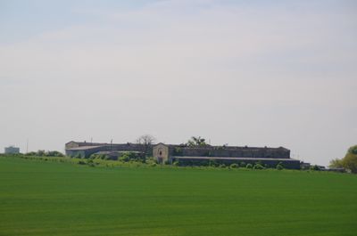
Skały
Location: Gmina Zdzieszowice
GPS coordinates: 50.47583,18.12167
Latest update: September 29, 2025 12:50
Góra Świętej Anny
4.1 km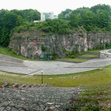
Monument and open-air theatre at St. Anne Mountain
3.6 km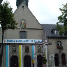
Góra Świętej Anny Monastery
4 km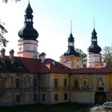
Żyrowa Palace
2.6 km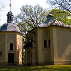
St Anne's Hill Calvary
4.1 km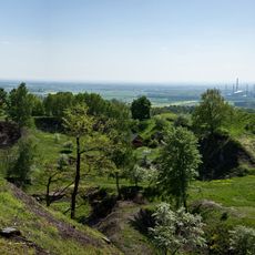
Rezerwat przyrody Góra Świętej Anny
4.2 km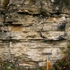
Gogolin Formation
6.3 km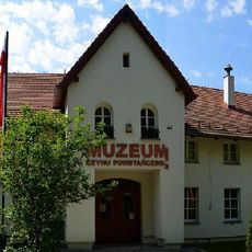
Uprising Museum in Góra Świętej Anny
3.9 km
Ligota Dolna, powiat strzelecki
796 m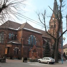
Sacred Heart church in Gogolin
7.1 km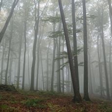
Rezerwat przyrody Lesisko
2.5 km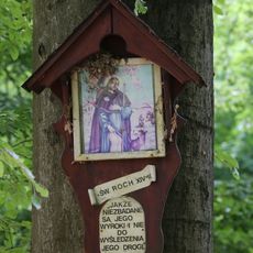
Rezerwat przyrody Biesiec
1.4 km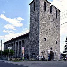
Saint Anthony church in Zdzieszowice
6.1 km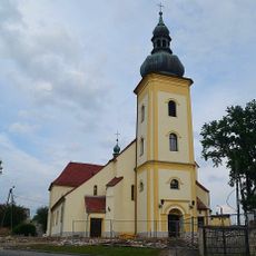
Holy Trinity church in Leśnica
6.9 km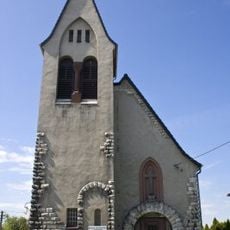
Evangelical-Augsburg Church in Gogolin
7 km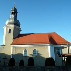
Church of St. Michael the Archangel in Poznowice
5.3 km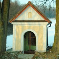
Chapel of the three brothers
4.3 km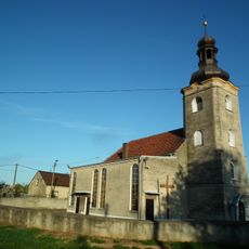
Church of the Nativity of the Virgin Mary in Kalinów
6.6 km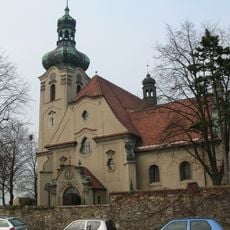
Mary Magdalene church in Jasiona
1.9 km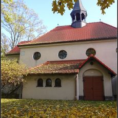
Kościół św. Antoniego w Zdzieszowicach
6.2 km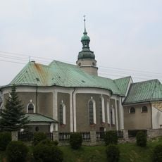
Kościół św. Floriana, XV/XVI
3.5 km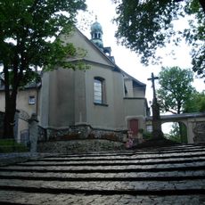
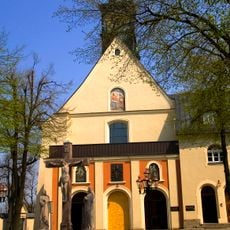
Kościół św. Anny
4 km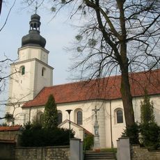
Church of Saint Nicholas in Żyrowa
2.6 km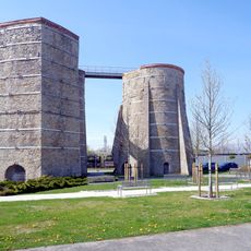
Glass furnace No. 7 in Gogolin
7.3 km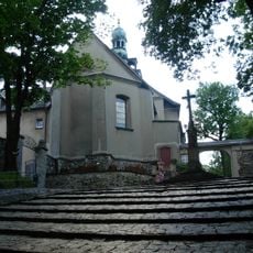
Franziskanerkloster St. Annaberg
4 km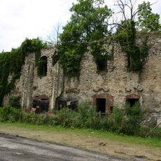
Ruins in Zakrzów
3.2 km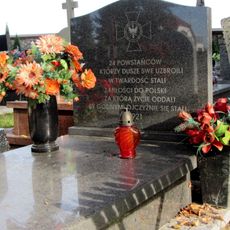
Grave of powstańców śląskich in Gogolin
6.7 km
Dziedziniec krużgankowy, XVIII/XIX
4 kmReviews
Visited this place? Tap the stars to rate it and share your experience / photos with the community! Try now! You can cancel it anytime.
Discover hidden gems everywhere you go!
From secret cafés to breathtaking viewpoints, skip the crowded tourist spots and find places that match your style. Our app makes it easy with voice search, smart filtering, route optimization, and insider tips from travelers worldwide. Download now for the complete mobile experience.

A unique approach to discovering new places❞
— Le Figaro
All the places worth exploring❞
— France Info
A tailor-made excursion in just a few clicks❞
— 20 Minutes