
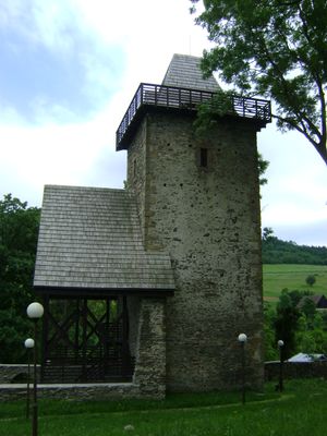
Former church in Podgórki, Lower Silesian Voivodeship, church in Podgórki, Lower Silesian Voivodeship, Poland
Location: Podgórki, Lower Silesian Voivodeship
Inception: 13 century
GPS coordinates: 50.95513,15.84844
Latest update: March 7, 2025 16:07
Skopiec
2.8 km
Hogolie
3.6 km
Łysa Góra
3.8 km
Folwarczna
2.1 km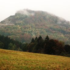
Połom
4.7 km
Baraniec
3 km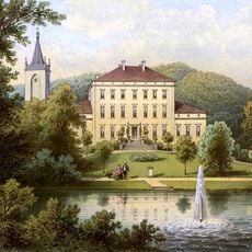
Palace in Lubiechowa
4.5 km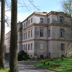
Palace in Podgórki
1.6 km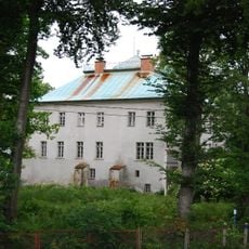
Palace in Komarno
3.7 km
Kobyła (Góry Kaczawskie)
1.3 km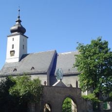
Church of the Assumption of the Blessed Virgin Mary in Wojcieszów
4.8 km
Saint Joseph church
3.7 km
Krzyżowa (Góry Kaczawskie)
568 m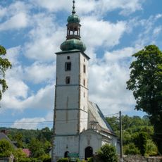
Church of Saint John the Baptist
3.7 km
Radostka (Góry Kaczawskie)
2.3 km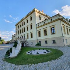
Pałac w Lubiechowej
4.5 km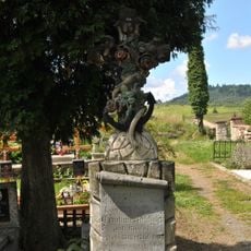
Saint Lawrence church cemetery in Dziwiszów
4.3 km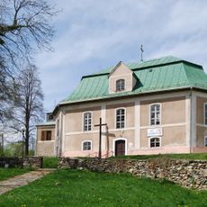
Kościół ewangelicki, ob. rzym.-kat. św. Józefa
59 m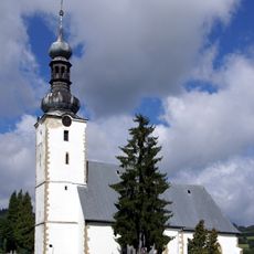
Saint Lawrence church in Dziwiszów
4.3 km
Old cemetery in Komarno
3.7 km
Cemetery in Podgórki, Lower Silesian Voivodeship
21 m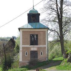
Dzwonnica w Podgórkach
79 m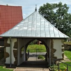
Ogrodzenie z bramką
4.3 km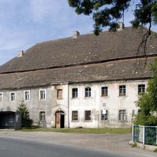
Former inn in Dziwiszów
4.1 km
Zespół pałacowy
3.7 km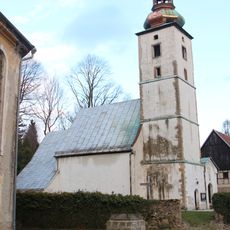
Zespół kościoła św. Jana Chrzciciela
3.7 km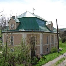
Zespół kościoła ewang., ob. rzym.kat. św. Józefa
59 m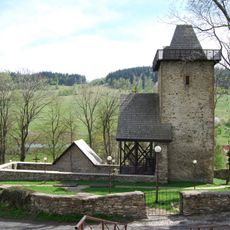
Zespół kościoła (ruina)
18 mReviews
Visited this place? Tap the stars to rate it and share your experience / photos with the community! Try now! You can cancel it anytime.
Discover hidden gems everywhere you go!
From secret cafés to breathtaking viewpoints, skip the crowded tourist spots and find places that match your style. Our app makes it easy with voice search, smart filtering, route optimization, and insider tips from travelers worldwide. Download now for the complete mobile experience.

A unique approach to discovering new places❞
— Le Figaro
All the places worth exploring❞
— France Info
A tailor-made excursion in just a few clicks❞
— 20 Minutes