
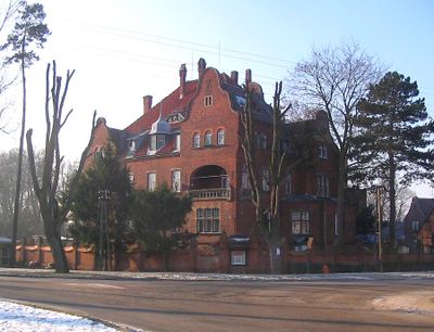
Budynek administracyjny, building in Trzebiechów, Zielona Góra County, Poland
Location: Trzebiechów, Zielona Góra County
Inception: 1905
Part of: Zespół sanatoryjny
Address: Sulechowska 1
GPS coordinates: 52.02327,15.73443
Latest update: March 12, 2025 07:59
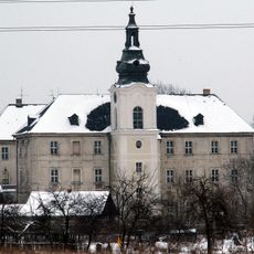
Zabór Palace
8.3 km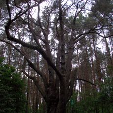
Sosna Waligóra
8.8 km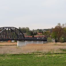
Cigacice bridge
8.3 km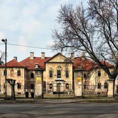
Palace in Bojadła
9.3 km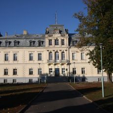
Palace in Trzebiechów
181 m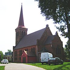
Kościół Świętego Stanisława Kostki w Sulechowie
10 km
Kościół św. Michała Archanioła w Cigacicach
8.3 km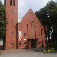
Kościół św. Wojciecha w Kargowej
9.8 km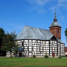
Saint Thérèse of Lisieux church in Bojadła
9.3 km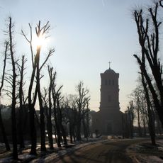
Church of the Assumption in Trzebiechów
438 m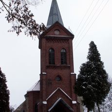
Saint Hedwig church in Milsko
9.2 km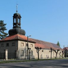
Kordegarda II
9.4 km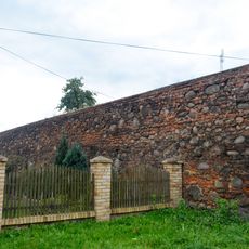
Defensive walls in Sulechów
10.1 km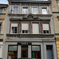
13 Łukasiewicza Street in Sulechów
10.1 km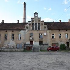
Gorzelnia
9.3 km
7 Ratuszowy Square in Sulechów
10.1 km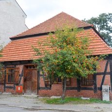
5 Szkolna Street in Sulechów
10.1 km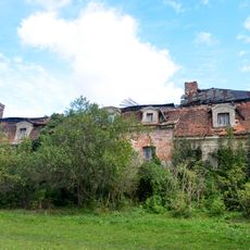
Manor in Okunin
8 km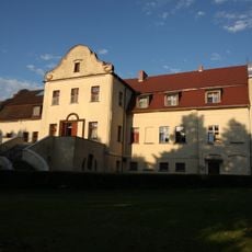
Pałac w Wojnowie
9.2 km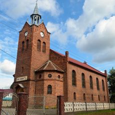
Our Lady of Perpetual Help church in Smolno Wielkie
6.2 km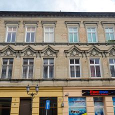
14 Łukasiewicza Street in Sulechów
10.1 km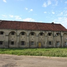
Spichrz
9.3 km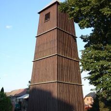
Bell tower in Stare Kramsko
9.8 km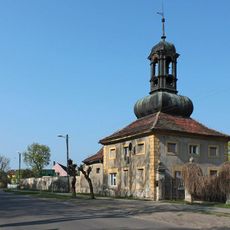
Kordegarda I
9.4 km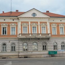
4 Wielkopolska Street in Sulechów
10.1 km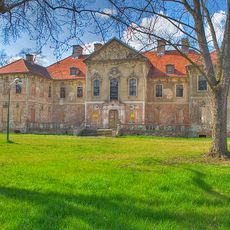
Pałac
9.3 km
Zespół pałacowy
9.3 km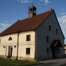
Spichrz, ob. kaplica Matki Boskiej Częstochowskiej
9.2 kmVisited this place? Tap the stars to rate it and share your experience / photos with the community! Try now! You can cancel it anytime.
Discover hidden gems everywhere you go!
From secret cafés to breathtaking viewpoints, skip the crowded tourist spots and find places that match your style. Our app makes it easy with voice search, smart filtering, route optimization, and insider tips from travelers worldwide. Download now for the complete mobile experience.

A unique approach to discovering new places❞
— Le Figaro
All the places worth exploring❞
— France Info
A tailor-made excursion in just a few clicks❞
— 20 Minutes