
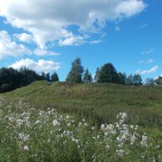
Gnezdovo
30.7 km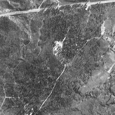
Katyn Forest
26.2 km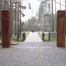
Katyn war cemetery
26.5 km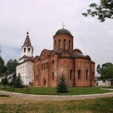
Church of Saint Peter and Saint Paul on Gorodyanka
39.3 km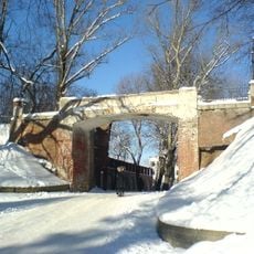
Lopatinsky garden
39.9 km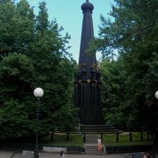
Memorial to the Battle of Smolensk
40 km
Borisoglebsky Monastery
37.7 km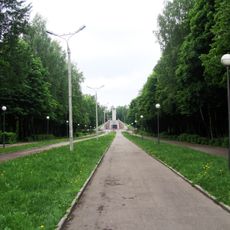
Readowski Park
40 km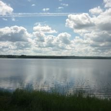
Akatovskoye Lake
34 km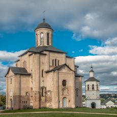
Svirskaya Church
38.4 km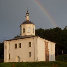
Saint John the Evangelist Church, Smolensk
39.6 km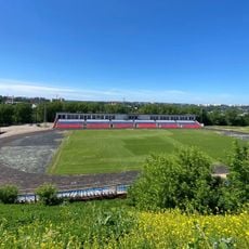
Spartak Stadium in Smolensk
39.7 km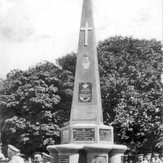
Monument to Sofijsky regiment in Smolensk
39.8 km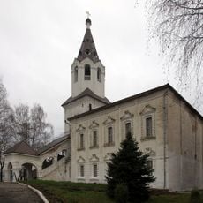
Category:Church of Saint Barbara, Smolensk
39.3 km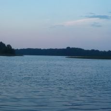
Divo
38.2 km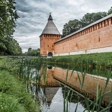
Kopytenskaya Tower
40.1 km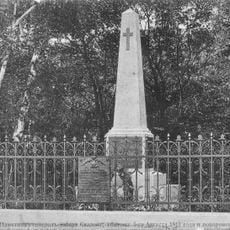
Tomb of General Skalon
39.8 km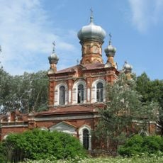
Ecclesia archangeli Michaelis
1 km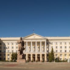
House of Soviets, Smolensk
40.3 km
Oktyabrskoy Revolyutsii Street 6, Smolensk
40.3 km
Дом-музей М. А. Егорова
25.2 km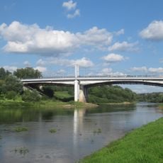
Uspensky Bridge
40.2 km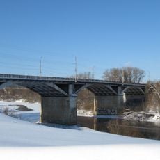
Petropavlovsky Bridge
39.4 km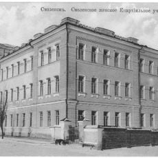
Category:Diocesan college for women in Smolensk
40.3 km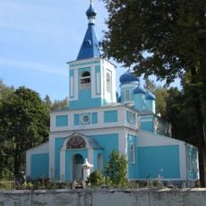
Церковь Покрова Пресвятой Богородицы (Демидов)
39.1 km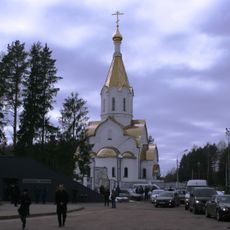
Church of the Resurrection of Christ in Katyn
26.4 km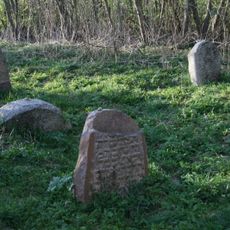
Lyubavichy Jewish cemetery
34.1 km
Category:Upper-George Church
39.2 kmReviews
Visited this place? Tap the stars to rate it and share your experience / photos with the community! Try now! You can cancel it anytime.
Discover hidden gems everywhere you go!
From secret cafés to breathtaking viewpoints, skip the crowded tourist spots and find places that match your style. Our app makes it easy with voice search, smart filtering, route optimization, and insider tips from travelers worldwide. Download now for the complete mobile experience.

A unique approach to discovering new places❞
— Le Figaro
All the places worth exploring❞
— France Info
A tailor-made excursion in just a few clicks❞
— 20 Minutes