
Sherkaly, human settlement in Russia
Location: Шеркальське сільське поселення
GPS coordinates: 62.75444,65.48111
Latest update: March 24, 2025 06:31
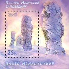
Manpupuner rock formations
322.4 km
Mount Narodnaya
365.2 km
North Urals
322.3 km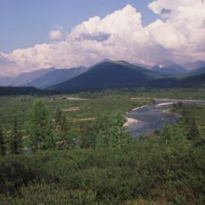
Virgin Komi Forests
366.3 km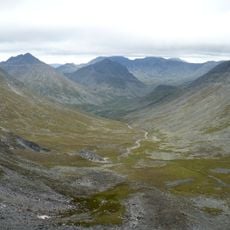
Subpolar Ural
367.5 km
Otorten
331.9 km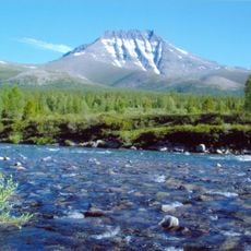
Yugyd Va National Park
340.2 km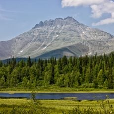
Manaraga
378.6 km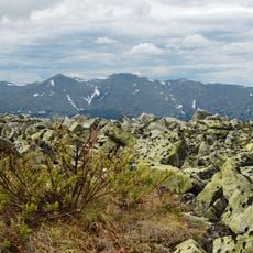
Vishera Nature Reserve
355.3 km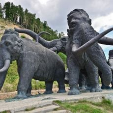
Archeopark
270.6 km
Little Sosva Nature Reserve
103.3 km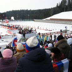
Khanty-Mansiysk Biathlon Center
271 km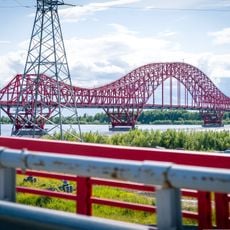
Drago rosso (ponte)
269 km
Samarovsky Chugas Nature Park
270 km
Museum of Nature and Humanity
269.2 km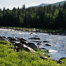
Schugor
354.1 km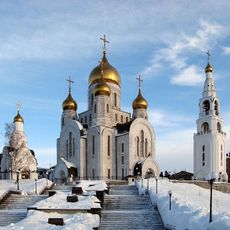
Cathedral of the Resurrection of Christ
269.7 km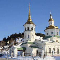
Church of the Intercession of the Most Holy Mother of God in Khanty-Mansiysk
273 km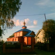
Знаменская церковь (Ханты-Мансийск)
269 km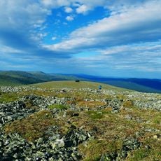
Puramunitur
339.7 km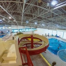
Аквапарк
271.1 km
Здание пожарного депо (Ханты-Мансийск)
268.7 km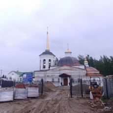
Церковь Вознесения Господня (Горноправдинск)
381.8 km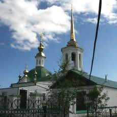
Церковь Рождества Пресвятой Богородицы (каменная) (Берёзово)
133.2 km
Concert and Theatre Center Yugra-Klassik
269.1 km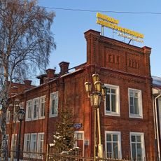
Здание первой электростанции Ханты-Мансийска (Ханты-Мансийск)
268.7 km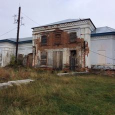
Спасская церковь (Шеркалы)
288 m
Church of the Holy Mandylion (Skripunova)
274 kmReviews
Visited this place? Tap the stars to rate it and share your experience / photos with the community! Try now! You can cancel it anytime.
Discover hidden gems everywhere you go!
From secret cafés to breathtaking viewpoints, skip the crowded tourist spots and find places that match your style. Our app makes it easy with voice search, smart filtering, route optimization, and insider tips from travelers worldwide. Download now for the complete mobile experience.

A unique approach to discovering new places❞
— Le Figaro
All the places worth exploring❞
— France Info
A tailor-made excursion in just a few clicks❞
— 20 Minutes