Chrustalnoje, human settlement in Slavsky District, Kaliningrad Oblast, Russia
Location: Slavsky District
Elevation above the sea: 15 m
GPS coordinates: 55.12778,21.32917
Latest update: April 20, 2025 20:23
Nemunas Delta Regional Park
19.2 km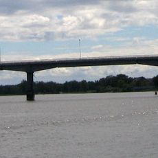
Rusnės tiltas
19.6 km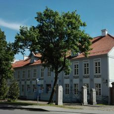
Šilutė manor
25.1 km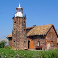
Cape Vente Lighthouse
25.3 km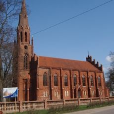
Kirche Heinrichswalde
24.5 km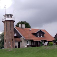
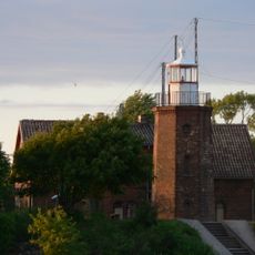
Uostadvaris lighthouse
24.2 km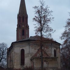
Kaukehmen Church
14.8 km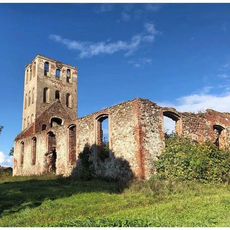
Kirche Neukirch
18.6 km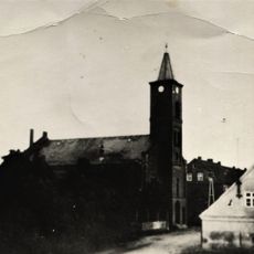
Kirche Seckenburg
7.8 km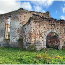
Kirche Lappienen
6.8 km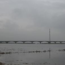
Šlažai bridge
23.1 km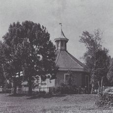
Kirche Inse
7.4 km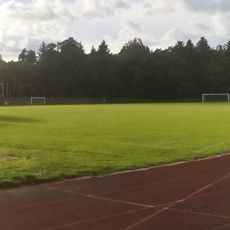
Šilutė Stadium
25.2 km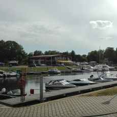
Port de Šilutė
24.9 km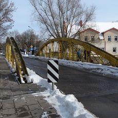
Geltonasis tiltas
25.1 km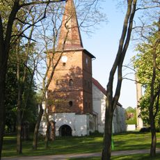
Evangelical Lutheran Church in Rusnė
19.1 km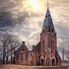
Kirche Pokraken
23.1 km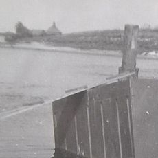
Kirche Skören
20.7 km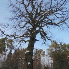
Pagryniai oak
24.9 km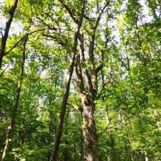
Oak of Hermanas Zudermanas
21.4 km
Šilutės Arkangelo Mykolo cerkvė
25.2 km
Evangelical Lutheran Church in Vyžiai
23.4 km
Rusnė chapel
19 km
Juknaičių Alkos kalnas
23.9 km
Juknaičiai chapel
23.7 km
Rubokų kapinynas
21.7 km
Ostrov Yuzhnyy (pulo sa Litwanya)
16.4 km
Poluostrov Pelitakos-Verderis
16.7 kmReviews
Visited this place? Tap the stars to rate it and share your experience / photos with the community! Try now! You can cancel it anytime.
Discover hidden gems everywhere you go!
From secret cafés to breathtaking viewpoints, skip the crowded tourist spots and find places that match your style. Our app makes it easy with voice search, smart filtering, route optimization, and insider tips from travelers worldwide. Download now for the complete mobile experience.

A unique approach to discovering new places❞
— Le Figaro
All the places worth exploring❞
— France Info
A tailor-made excursion in just a few clicks❞
— 20 Minutes