
Shaytan
64 km
Заповедник "Нургуш"
54.5 km
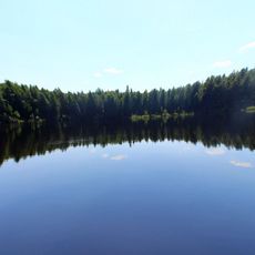
Lezhnino Lake
17.5 km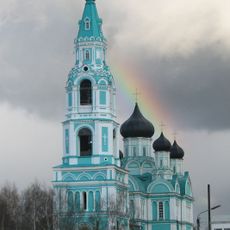
Holy Trinity Church in Yaransk
67.1 km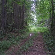
Les Bushkovskiy
65 km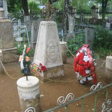
Voznesenskoye Cemetery
66.3 km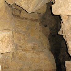
Пещера Киров-600
17.7 km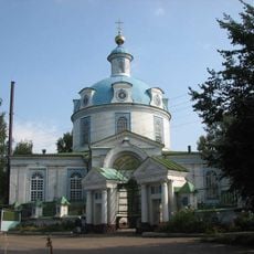
Cathedral of the Dormition, Yaransk
67 km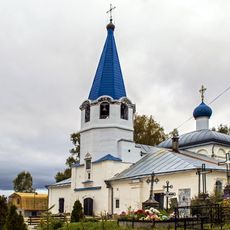
Church of the Protection of the Theotokos, Sovetsk
6.4 km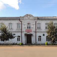
Category:Yaransk local museum
66.9 km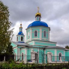
Кукарский Успенский монастырь
5.6 km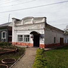
Yaransk District Archive
66.9 km
Советский районный краеведческий музей
5.6 km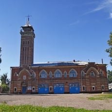
Пожарная каланча в Советске (Кировская область)
5.1 km
Kostromitinovs house
67 km
Nosovs House, Yaransk
67 km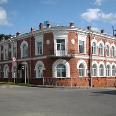
Yaransk central library
67.1 km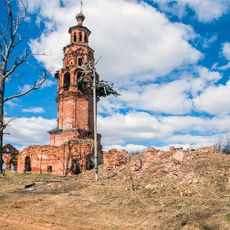
Church of Nativity of Theotokos
64.8 km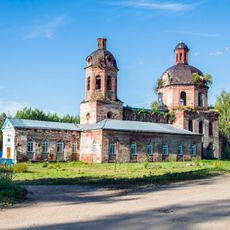
Church of the Holy Mandylion, Izh
25.9 km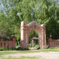
Pokrovskoye Cemetery
4.2 km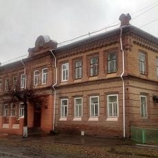
Яранська жіноча гімназія
66.8 km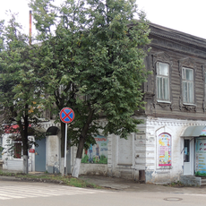
Krutovskikh house
67 km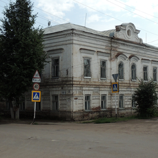
Yaransk men's gymnasium
66.9 km
Луначарский (Кирован область)
69.3 km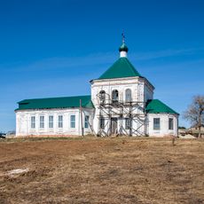
Saint Nicholas church, Voya
37.4 km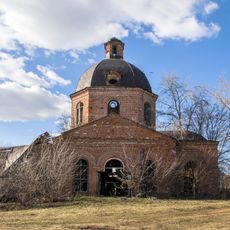
Saints Peter and Paul church, Serdezh
48.2 km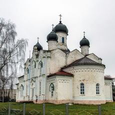
Церковь Покрова Божией Матери (Марисола)
61.3 km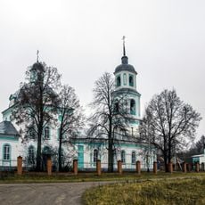
Церковь Воздвижения Креста Господня (Кукнур)
40.1 kmReviews
Visited this place? Tap the stars to rate it and share your experience / photos with the community! Try now! You can cancel it anytime.
Discover hidden gems everywhere you go!
From secret cafés to breathtaking viewpoints, skip the crowded tourist spots and find places that match your style. Our app makes it easy with voice search, smart filtering, route optimization, and insider tips from travelers worldwide. Download now for the complete mobile experience.

A unique approach to discovering new places❞
— Le Figaro
All the places worth exploring❞
— France Info
A tailor-made excursion in just a few clicks❞
— 20 Minutes