
Teglitsy, human settlement in Volosovsky District, Leningrad Oblast, Russia
Location: Begunitskoye rural settlement
GPS coordinates: 59.64667,29.25361
Latest update: April 18, 2025 16:26
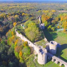
Koporye
14.3 km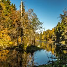
Radon Springs in Lopukhinka
13.5 km
Валун Русич
13.5 km
Lopukhinka Manor
13.5 km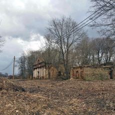
Grevova Manor
13.4 km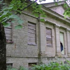
Voronitskaya Manor
12 km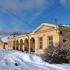
Главный дом (Чирковицы)
11.6 km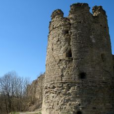
South Tower of Koporye fortress
14.1 km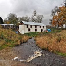
Мельница (Копорье)
13.5 km
Парк (Гомонтово)
7.7 km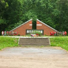
Koporye War memorial
13.3 km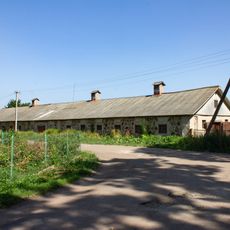
Gomontovo estate
7.7 km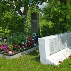
Globitsy mass grave
10.9 km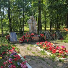
Begunitsy War Memorial
7.4 km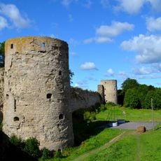
North Tower of Koporye fortress
14.2 km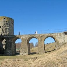
Entrance Bridge of Koporye fortress
14.1 km
Church of the Holy Mandylion (Chirkovitsy)
11.7 km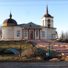
Saint Michael church, Begunitsy
7.8 km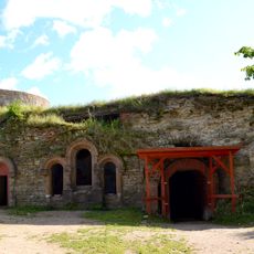
Zinoviev family burial vault, Koporye
14.2 km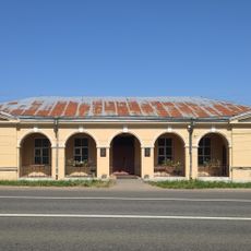
Post station in Chirkovitsy
11.6 km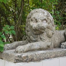
Lions of Lopukhinka Manor
12.8 km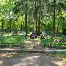
Братская могила советских воинов, погибших в борьбе с фашистами (Зимитицы)
12.5 km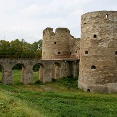
Entrance fortifications of Koporye fortress
14.1 km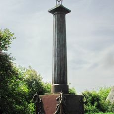
Demidov column in Chirkovitsy
11.7 km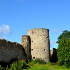
Middle Tower of Koporye fortress
14.3 km
Manor Sans Ennui
13.4 km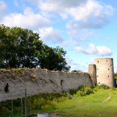
Стена (прясло) между Северной и Средней башнями (Копорье)
14.2 km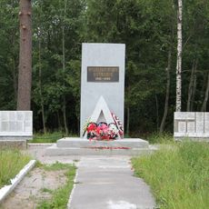
Shalash memorial sign (Lopukhinka)
12.6 kmReviews
Visited this place? Tap the stars to rate it and share your experience / photos with the community! Try now! You can cancel it anytime.
Discover hidden gems everywhere you go!
From secret cafés to breathtaking viewpoints, skip the crowded tourist spots and find places that match your style. Our app makes it easy with voice search, smart filtering, route optimization, and insider tips from travelers worldwide. Download now for the complete mobile experience.

A unique approach to discovering new places❞
— Le Figaro
All the places worth exploring❞
— France Info
A tailor-made excursion in just a few clicks❞
— 20 Minutes