
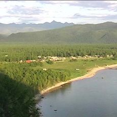
Мутина, human settlement in Kirensky District, Irkutsk Oblast, Russia
Location: Коршуновское муниципальное образование
Location: 科尔舒诺沃市镇
GPS coordinates: 58.62512,110.02878
Latest update: March 2, 2025 21:07
Barguzin Nature Reserve
493.9 km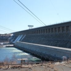
Bratsk Hydroelectric Power Station
557.5 km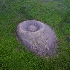
Patomskiy crater
383.6 km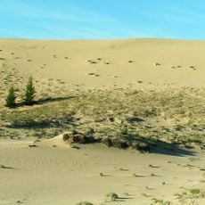
Chara Sands
521.5 km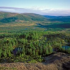
Baikal-Lena nature reserve
506.9 km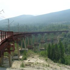
Devil's Bridge
329.2 km
Zabaykalsky
548.7 km
Tunguska Nature Reserve
509.6 km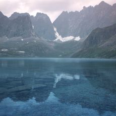
Vitim Nature Reserve
430.8 km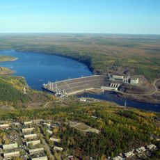
Vilyuy Reservoir
504.2 km
Ust-Ilimsk Reservoir
468.2 km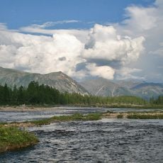
Dzherginsky Nature Reserve
400.4 km
Pik BAM
489.1 km
Kodar National Park
489.2 km
Сиреневый Камень
527.1 km
Aku Volcano
522 km
Udokan Plateau
531.6 km
Troitsky monastery
146.7 km
Lenskiye Shchyoki
51.1 km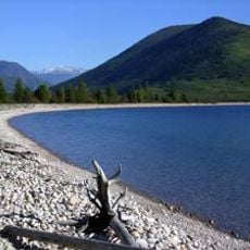
Frolikha Adventure Coastline Track
363.5 km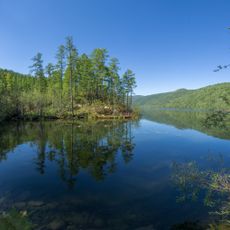
Mamakan Reservoir
251.7 km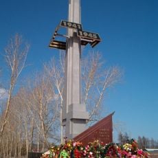
Lensk war memorial
358.7 km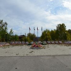
Мемориал воинской Славы (Витим)
171.9 km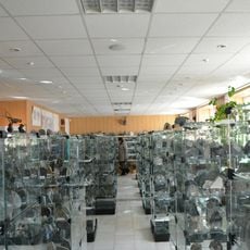
Kimberlites Museum in Mirny
486.4 km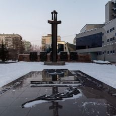
Victory Square
485.7 km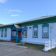
Торговое здание купца Лозовского (Баргузин)
558.2 km
Porog Yuktali
350.8 km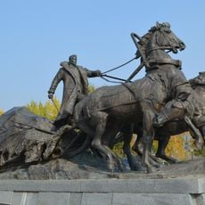
Lensk Troyka monument
359.9 kmReviews
Visited this place? Tap the stars to rate it and share your experience / photos with the community! Try now! You can cancel it anytime.
Discover hidden gems everywhere you go!
From secret cafés to breathtaking viewpoints, skip the crowded tourist spots and find places that match your style. Our app makes it easy with voice search, smart filtering, route optimization, and insider tips from travelers worldwide. Download now for the complete mobile experience.

A unique approach to discovering new places❞
— Le Figaro
All the places worth exploring❞
— France Info
A tailor-made excursion in just a few clicks❞
— 20 Minutes