
12th km, human settlement in Khorolsky District, Primorsky Krai, Russia
Location: Лучкинское сельское поселение
Inception: 1928
GPS coordinates: 44.23120,132.31600
Latest update: April 7, 2025 05:26
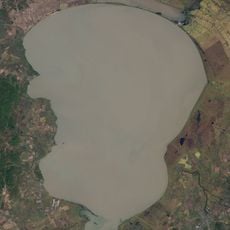
Khanka
87.8 km
Ussurisky Nature Reserve
64 km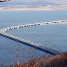
Amur Bay Bridge
113.2 km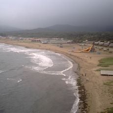
Shamora
116.6 km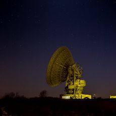
Galenki RT-70 radio telescope
50.5 km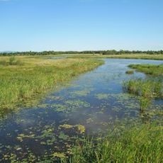
Khanka Nature Reserve
38.8 km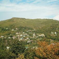
Mount Kholodilnik
124.6 km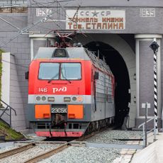
Stalin tunnel
127.5 km
Eagle's Nest
127.9 km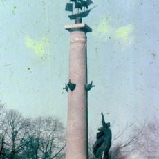
Ростральная колонна
109.4 km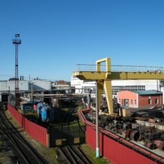
Ussuriysk Locomotive Repair Plant
54.2 km
Baranovsky Volcano (Primorsky Krai)
71.8 km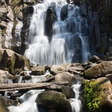
Waterfall on Left Gorbaty Spring
98 km
Botanical Garden-Institute of the Far Eastern Branch of the Russian Academy of Sciences
115.1 km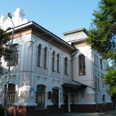
Ussuriysk drama theatre
57.2 km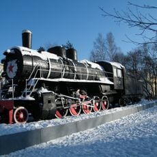
Russian locomotive Ел-629
54.9 km
Suifenhe Port
91.8 km
Церковь евангельских христиан-баптистов на Народном проспекте
127.1 km
Artyomovka Reservoir
81.6 km
Federal Scientific Center of the East Asia Terrestrial Biodiversity
119.8 km
Obzornaya
85.2 km
Church of the Protection of Our Lady in Ussuriysk
56.6 km
Monument to Osip Mandelstam in Vladivostok
127.5 km
V.K. Komarov Mountain-Taiga Station
61.3 km
Suifenhe Railway Station (1899-2015)
94.6 km
Railway Workers' Palace of Culture
126.9 km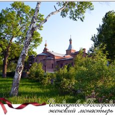
Rozhdestvensky Convent, Ussuriysk
66.3 km
Peschanaya Cove
124 kmReviews
Visited this place? Tap the stars to rate it and share your experience / photos with the community! Try now! You can cancel it anytime.
Discover hidden gems everywhere you go!
From secret cafés to breathtaking viewpoints, skip the crowded tourist spots and find places that match your style. Our app makes it easy with voice search, smart filtering, route optimization, and insider tips from travelers worldwide. Download now for the complete mobile experience.

A unique approach to discovering new places❞
— Le Figaro
All the places worth exploring❞
— France Info
A tailor-made excursion in just a few clicks❞
— 20 Minutes