
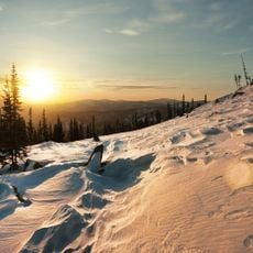
Kuznetsk Alatau
84.2 km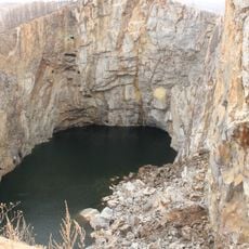
Tuim sinkhole
72.6 km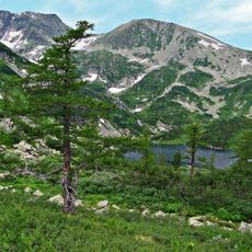
Kuznetsk Alatau Nature Reserve
88.3 km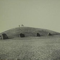
Big Salabyk mound
145.7 km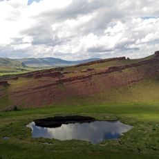
Sunduki Range
36.2 km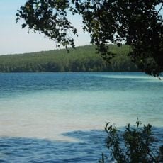
Ingol
81.2 km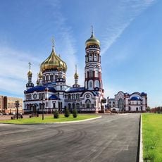
Church of the Nativity of Jesus Christ in Novokuznetsk
168.4 km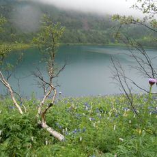
Ivanovskie ozyora
44.6 km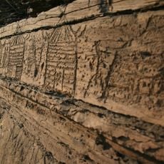
Boyarskaya Pisanitsa
141 km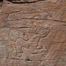
Sulek petroglyphs
27.4 km
Itat Formation
95.9 km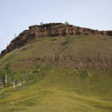
Chebaki fortress
23.5 km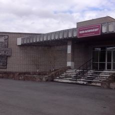
Музейно-выставочный центр города Назарово
151.3 km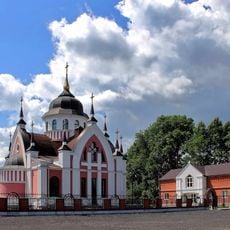
St. John Chrysostom Church, Novokuznetsk
171.4 km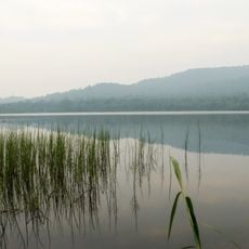
Dikoye Lake (Khakassia)
109.7 km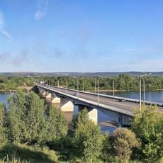
Ilyinsky bridge (Novokuznetsk)
171.1 km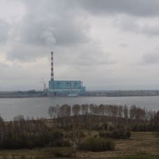
Beryozovo Reservoir
82.4 km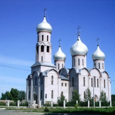
Holy Trinity Cathedral
78.2 km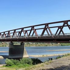
Байдаевский мост
171.2 km
Tsingol
56.7 km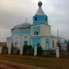
Saints Peter and Paul сhurche
67.2 km
3755 км
157.3 km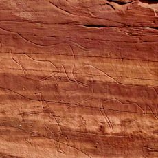
Oshkol' petroglyphs
14.8 km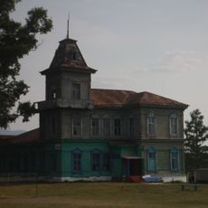
Ivanitsky Estate, Chebaki
31.2 km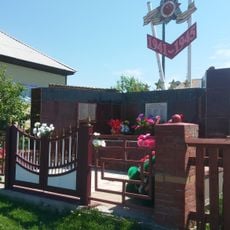
Памятник воинам-землякам, погибшим в годы Великой Отечественной войны (Соленоозёрное)
44 km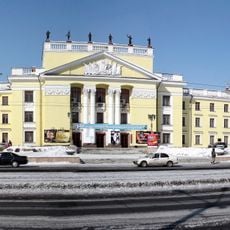
Palace of Culture of the Aluminum Plant
176.5 km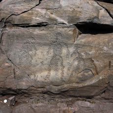
Sunduki Petroglyphs
38.2 km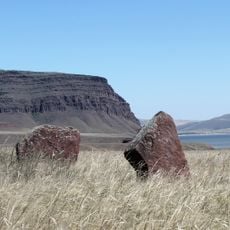
Fortress Oglakhty
173.6 kmReviews
Visited this place? Tap the stars to rate it and share your experience / photos with the community! Try now! You can cancel it anytime.
Discover hidden gems everywhere you go!
From secret cafés to breathtaking viewpoints, skip the crowded tourist spots and find places that match your style. Our app makes it easy with voice search, smart filtering, route optimization, and insider tips from travelers worldwide. Download now for the complete mobile experience.

A unique approach to discovering new places❞
— Le Figaro
All the places worth exploring❞
— France Info
A tailor-made excursion in just a few clicks❞
— 20 Minutes