
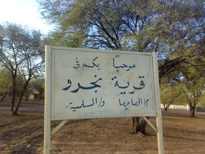
Najaru, village
Location: Gezira
Elevation above the sea: 410 m
GPS coordinates: 14.47402,33.24967
Latest update: March 4, 2025 13:55
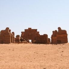
Naqa
199.9 km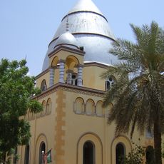
The Mahdi's tomb
153.5 km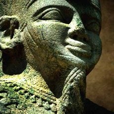
National Museum of Sudan
149.1 km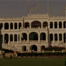
Presidential Palace in Khartoum
148.4 km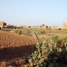
Tuti Island
150.5 km
Shambat Bridge
152.8 km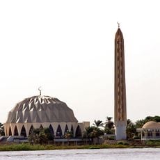
Masjid Al-Nilin
151.4 km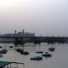
Mac Nimir Bridge
148.6 km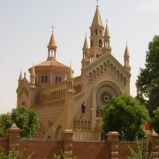
St. Matthew's Cathedral
148.1 km
Jebel Moya
108.8 km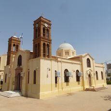
Greek Orthodox Church of the Annunciation
147.8 km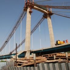
Tuti Bridge
149.1 km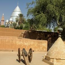
Khalifa House Museum
144.5 km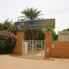
Sudan National Botanical Garden
148.7 km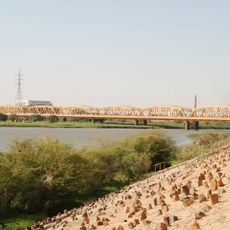
Omdurman Bridge
150.8 km
Republican Palace
148.1 km
Farouq mosque, Khartoum
148.3 km
GNPOC Headquarters
149.4 km
Goz Abu Goma Bridge
158.4 km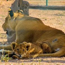
حديقة_السودان_لإنقاذ_الحياة_البرية
118.5 km
Nile Street, Sudan
148 km
Ethnological Museum of Khartoum
147.8 km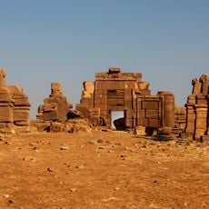
Temple of Amun, Naqa
199.8 km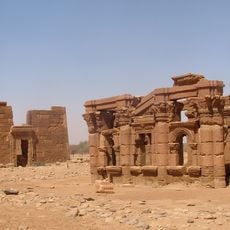
Nubian Lion Temple
199.8 km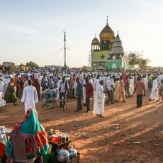
Sheikh Hamad-al Nil Tomb
153.5 km
سوق الشقلة الفتيحاب
150.3 km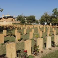
Khartoum War Cemetery
146.7 km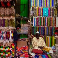
Souq Omdurman
154.5 kmReviews
Visited this place? Tap the stars to rate it and share your experience / photos with the community! Try now! You can cancel it anytime.
Discover hidden gems everywhere you go!
From secret cafés to breathtaking viewpoints, skip the crowded tourist spots and find places that match your style. Our app makes it easy with voice search, smart filtering, route optimization, and insider tips from travelers worldwide. Download now for the complete mobile experience.

A unique approach to discovering new places❞
— Le Figaro
All the places worth exploring❞
— France Info
A tailor-made excursion in just a few clicks❞
— 20 Minutes