
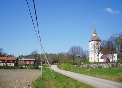
Tuna, urban area in Södertälje Municipality, Sweden
Location: Södertälje Municipality
Location: Södermanland
GPS coordinates: 59.25459,17.48138
Latest update: March 15, 2025 11:24

Nykvarn Municipality
7.1 km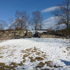
Telge hus
8.4 km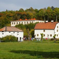
Ekensberg
6.8 km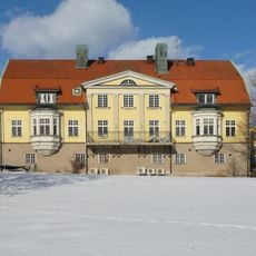
Högantorps gård
7.1 km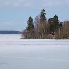
Björkfjärden
5.1 km
Lövsta
4.9 km
Viksbergs gård
7.5 km
Lina gård
8.1 km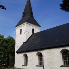
Överenhörna Church
6.8 km
Hanstavik
7.3 km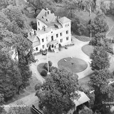
Kiholms gård
6.9 km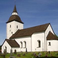
Ytterenhörna Church
619 m
Lindängen and Viksberg
7.4 km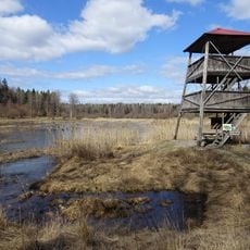
Lina
6.8 km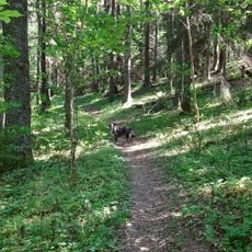
Parkudden-Lövsta
4.9 km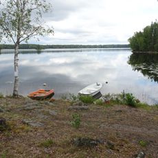
Malmsjön
4 km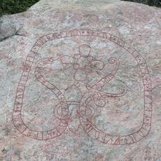
Södermanlands runinskrifter 344
6.7 km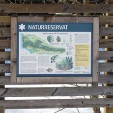
Korpberget
7.8 km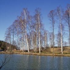
Slottsholmen, Södertälje
8.4 km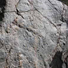
Bornhuvudristningen
5.8 km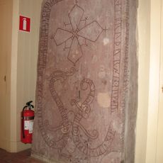
Södermanlands runinskrifter 338
6.9 km
Talbyskogen
8 km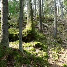
Bårsjön
3.1 km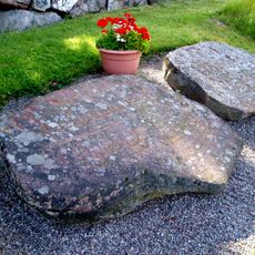
Hällarna från Tuna
619 m
Wincklerska slöjdskolan
6.9 km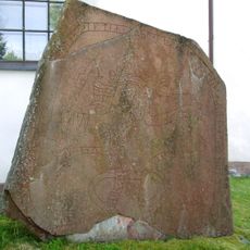
Södermanlands runinskrifter 190
619 m
Gåsholm
7.9 km
Långhällsudde
7.8 kmReviews
Visited this place? Tap the stars to rate it and share your experience / photos with the community! Try now! You can cancel it anytime.
Discover hidden gems everywhere you go!
From secret cafés to breathtaking viewpoints, skip the crowded tourist spots and find places that match your style. Our app makes it easy with voice search, smart filtering, route optimization, and insider tips from travelers worldwide. Download now for the complete mobile experience.

A unique approach to discovering new places❞
— Le Figaro
All the places worth exploring❞
— France Info
A tailor-made excursion in just a few clicks❞
— 20 Minutes