
Sava, place in Styria, Slovenia
Location: Municipality of Litija
Elevation above the sea: 235.9 m
GPS coordinates: 46.08833,14.89194
Latest update: March 3, 2025 10:24

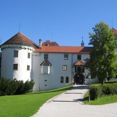
Bogenšperk Castle
7.7 km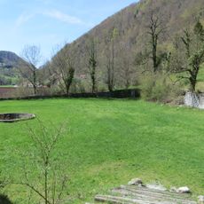
Medija Castle
7.1 km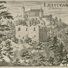
Lihtenberk Castle
7.7 km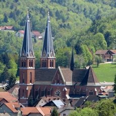
St. Martin's Parish Church (Šmartno pri Litiji)
6.2 km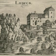
Lebek Castle
4 km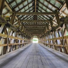
Spodnji Log Wooden Bridge
898 m
Slatna Mansion
5.7 km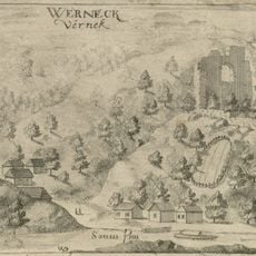
Vernek Castle
7.9 km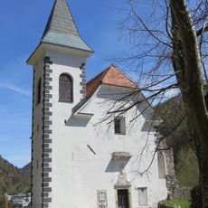
Our Lady of the Rosary Chapel
7.1 km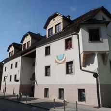
Litija Mansion
6 km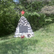
Spomenik II. Štajerskemu bataljonu v Tisju
7 km
Prazgodovinsko gradišče z grobišči
5 km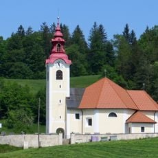
St. Anne's Church
5.3 km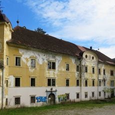
Grad Ponoviče
2.5 km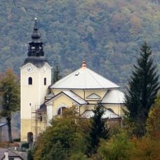
Our Lady of Lourdes Parish Church
5.7 km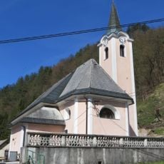
St. Nicholas's Church
103 m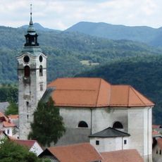
St. Andrew's Parish Church
5.4 km
Cerkev sv. Križa, Klenik
5.4 km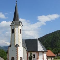
St. Catherine of Alexandria Church
4 km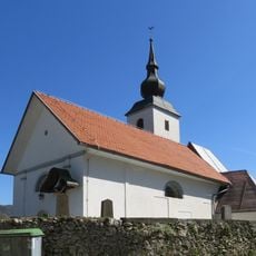
St. Margaret's Church
2.6 km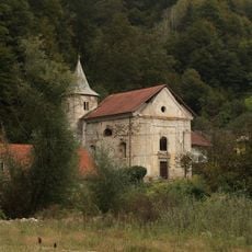
St. John the Baptist's Church
8 km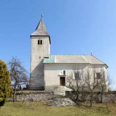
St. Agnes's Church
7.4 km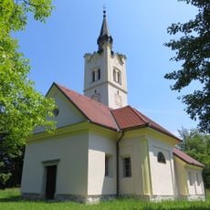
Cerkev sv. Jurija, Podšentjur
6 km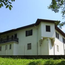
Pogonik castle
5.2 km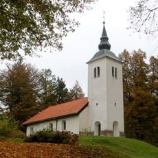
Cerkev sv. Janeza Krstnika, Mamolj
3.7 km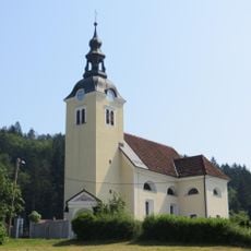
Cerkev sv. Helene, Zgornji Hotič
6 km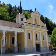
Cerkev sv. Nikolaja, Litija
6 km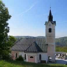
Sts. Hermagoras and Fortunatus Church
6.9 kmReviews
Visited this place? Tap the stars to rate it and share your experience / photos with the community! Try now! You can cancel it anytime.
Discover hidden gems everywhere you go!
From secret cafés to breathtaking viewpoints, skip the crowded tourist spots and find places that match your style. Our app makes it easy with voice search, smart filtering, route optimization, and insider tips from travelers worldwide. Download now for the complete mobile experience.

A unique approach to discovering new places❞
— Le Figaro
All the places worth exploring❞
— France Info
A tailor-made excursion in just a few clicks❞
— 20 Minutes