
Nazarje, human settlement
Location: Municipality of Nazarje
Elevation above the sea: 347 m
GPS coordinates: 46.32021,14.95313
Latest update: March 25, 2025 18:50
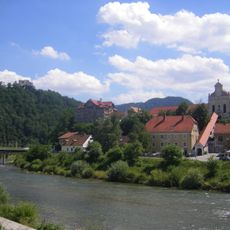
Sann
337 m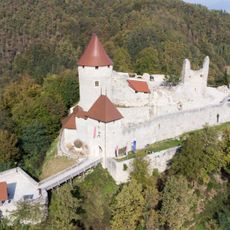
Žovnek Castle
6.3 km
Sankt Martin an der Pack
6.3 km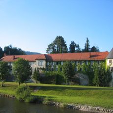
Vrbovec Castle
206 m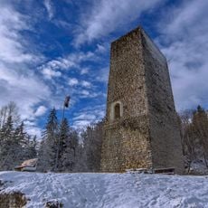
Šoštanj Castle
9.3 km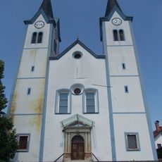
Annunciation Parish Church in Nazarje
14 m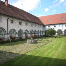
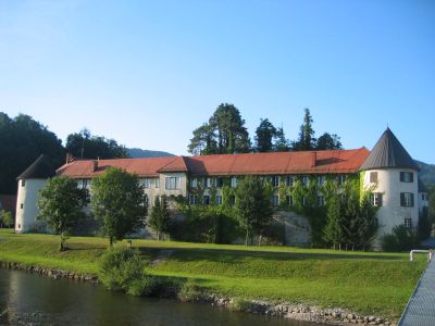
Frančiškanski samostan Nazarje
27 m
Grad Pakenštajn
6.4 km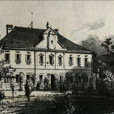
Dvorec Žovnek
7.8 km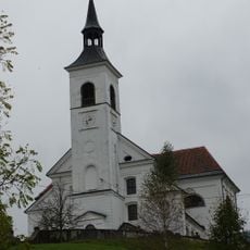
St. Francis Xavier Parish Church
8.3 km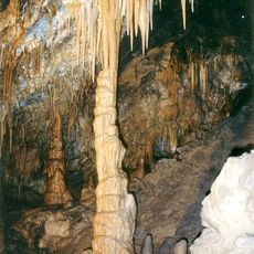
Rotovnik Cave
8.8 km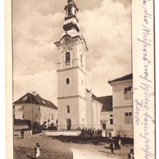
Assumption of Mary Parish Church
7.6 km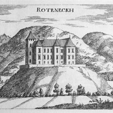
Rudenek Castle
3.7 km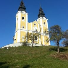
Holy Cross Church
8.2 km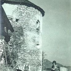
Stopnik Castle
7.1 km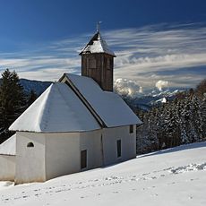
Sts. Gervasius and Protasius Church
7.4 km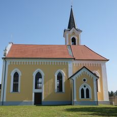
St. Nicholas's Church
2.6 km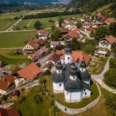
St. James's Church
6.4 km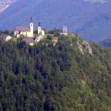
Old Holy Cross Church
9.2 km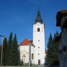
St. Cantianus's Parish Church
2.4 km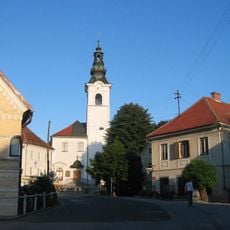
St. George's Parish Church
2.2 km
St. Martin's Parish Church
6.3 km
St. Michael's Parish Church
8.3 km
St. Radegund's Church
9.1 km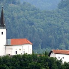
St. Jerome Church
8.2 km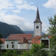
St. Martin's Parish Church
6.3 km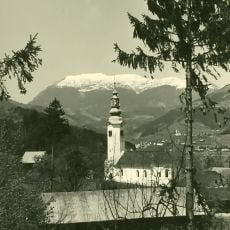
Cerkev sv. Mihaela, Radmirje
8 km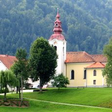
St. Peter's Parish Church
8.7 kmReviews
Visited this place? Tap the stars to rate it and share your experience / photos with the community! Try now! You can cancel it anytime.
Discover hidden gems everywhere you go!
From secret cafés to breathtaking viewpoints, skip the crowded tourist spots and find places that match your style. Our app makes it easy with voice search, smart filtering, route optimization, and insider tips from travelers worldwide. Download now for the complete mobile experience.

A unique approach to discovering new places❞
— Le Figaro
All the places worth exploring❞
— France Info
A tailor-made excursion in just a few clicks❞
— 20 Minutes