
Visoki Kurji vrh, mountain in Slovenia
Location: Municipality of Kranjska Gora
Elevation above the sea: 1,828 m
GPS coordinates: 46.49639,13.88832
Latest update: March 2, 2025 23:52
Mittagskogel / Kepa
5.1 km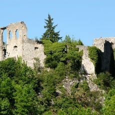
Burgruine Finkenstein
5.7 km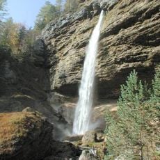
Peričnik Falls
6.4 km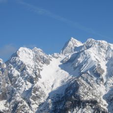
Špik
7.8 km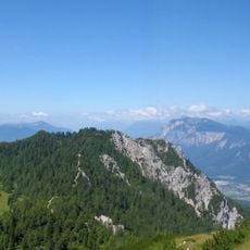
Mallestiger Mittagskogel
3.2 km
Kanzianiberg
6.3 km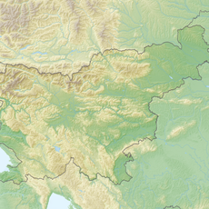
Techantinger Mittagskogel
3 km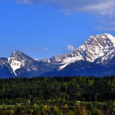
Ferlacher Spitze
6.4 km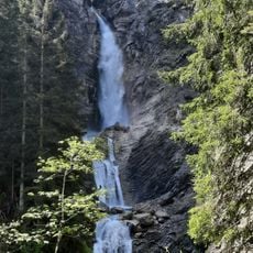
Spodnji Martuljkov slap
5.3 km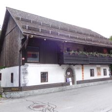
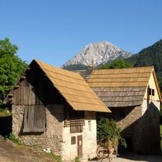
Liznjek Farm
7.8 km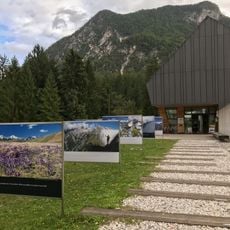
Slovenian Alpine Museum
5.6 km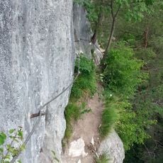
Kanzianiberg Klettersteig
6.3 km
Kukova špica
6 km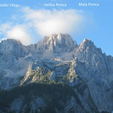
Velika Ponca
7.8 km
Dovški križ
7.1 km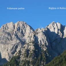
Rušica
7.6 km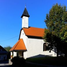
Filialkirche hl. Radegund, Techanting
7.5 km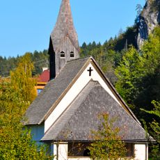
Filialkirche hl. Stefan, Goritschach
6.5 km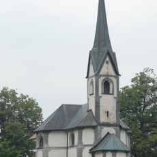
Filialkirche hl. Dreifaltigkeit, Pogöriach
6.8 km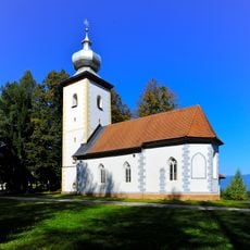
Kath. Filialkirche Hl. 3 Könige
6.8 km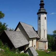
Filialkirche Kanzianiberg, Finkenstein am Faaker See
6.1 km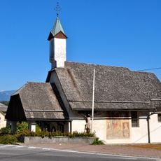
Filialkirche hl. Margaretha, Mallestig
7.4 km
Höhensiedlung Kanzianiberg
6.2 km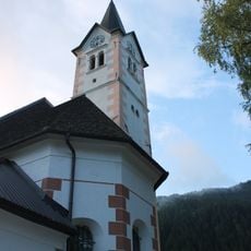
Saint Michael Parish Church
5.3 km
Schule, Stiegerhof, Nagersch(n)igghof, ehem. Schloss
7.6 km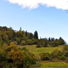
Hügelgräberfeld Kanzianiberg
6.2 km
Kreuzweg
6.2 km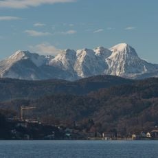
Bärenkogel
6.3 kmReviews
Visited this place? Tap the stars to rate it and share your experience / photos with the community! Try now! You can cancel it anytime.
Discover hidden gems everywhere you go!
From secret cafés to breathtaking viewpoints, skip the crowded tourist spots and find places that match your style. Our app makes it easy with voice search, smart filtering, route optimization, and insider tips from travelers worldwide. Download now for the complete mobile experience.

A unique approach to discovering new places❞
— Le Figaro
All the places worth exploring❞
— France Info
A tailor-made excursion in just a few clicks❞
— 20 Minutes