
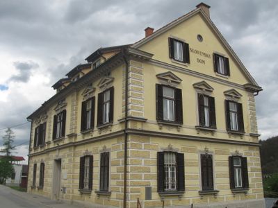
Slovenski dom, building in Municipality of Šentilj, Slovenia
Location: Municipality of Šentilj
GPS coordinates: 46.68230,15.64892
Latest update: March 3, 2025 02:34
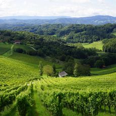
Weingut Manfred Tement
2.8 km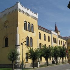
Schloss Strass
5.4 km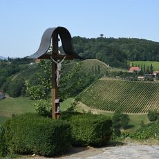
Platsch
2.4 km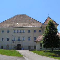
Svečina Castle
4.9 km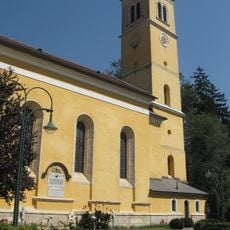
Kath. Pfarrkirche Mariä Himmelfahrt, Straß
5.3 km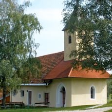
Karmeliterkapelle
3 km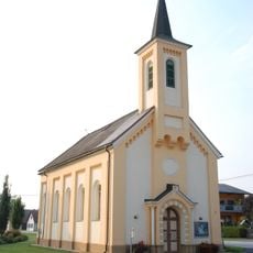
Ortskapelle Lichendorf, Straß
4.8 km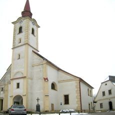
Kath. Pfarrkirche hl. Michael
3.6 km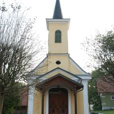
Ortskapelle
3.8 km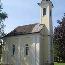
Kapelle
3.7 km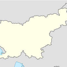
Šentilj v Slov. Goricah
96 m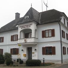
Gemeindeamt Spielfeld
3.2 km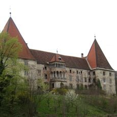
Schloss Spielfeld
3.6 km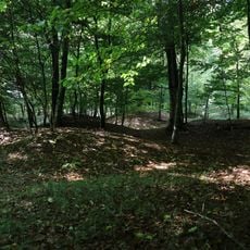
Barrow cemetery Gametzholz
3.6 km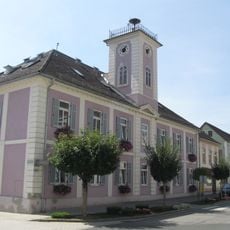
Retirement home
5.4 km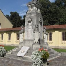
War memorial Straß in Steiermark
5.3 km
Bildstock Pestkreuz
5 km
Aufnahms- und Zollgebäude, Bahnhof Spielfeld-Straß
3.4 km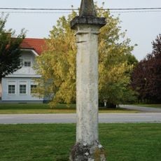
Pranger Lichendorf, Straß
4.8 km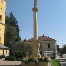
Figurenbildstock Mariensäule Straß
5.3 km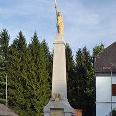
War memorial Spielfeld
3.2 km
Pfarrhof
5.4 km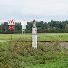
Bildstock, Pestkreuz
4.7 km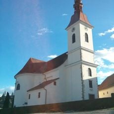
St. Giles's Parish Church
230 m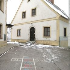
Pfarrhof
3.5 km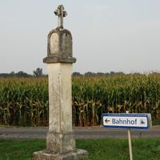
Pestkreuz
4.2 km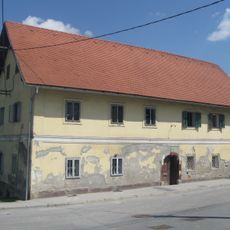
Hiša Slovenska 24
144 m
Büste Kaiser Franz Joseph I.
5.3 kmVisited this place? Tap the stars to rate it and share your experience / photos with the community! Try now! You can cancel it anytime.
Discover hidden gems everywhere you go!
From secret cafés to breathtaking viewpoints, skip the crowded tourist spots and find places that match your style. Our app makes it easy with voice search, smart filtering, route optimization, and insider tips from travelers worldwide. Download now for the complete mobile experience.

A unique approach to discovering new places❞
— Le Figaro
All the places worth exploring❞
— France Info
A tailor-made excursion in just a few clicks❞
— 20 Minutes