
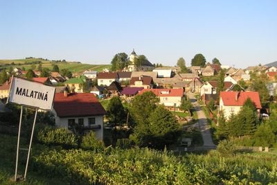
Malatiná, municipality of Slovakia
Location: District of Dolný Kubín
GPS coordinates: 49.18582,19.43242
Latest update: April 13, 2025 00:47

Liptov Castle
4.2 km
Prosiecka dolina
4.4 km
Svorad
4.6 km
Prosečné
6 km
Pravnáč
3.8 km
Rezerwat przyrody Prosiecka dolina
4.8 km
Lomné
3.2 km
Čerenová
3.7 km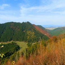
Sielnická hora
2.9 km
Heliaš
2.4 km
Sestrč
4.2 km
Czarna Hora
7.2 km
Magura
4.5 km
Havrania
3.8 km
Hrádková
7.1 km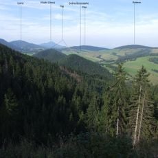
Diel
4.2 km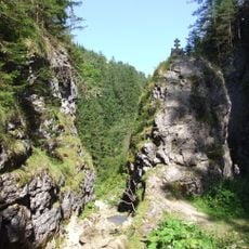
Dolina Borowianki
7.3 km
Chlebnice
6.1 km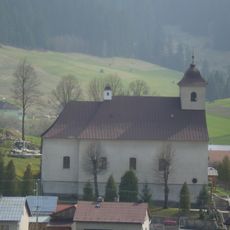
Kostel svatého Ondřeje
5.2 km
Dolina Roztoki (Pogórze Skoruszyńskie)
7.7 km
Polianky
7.7 km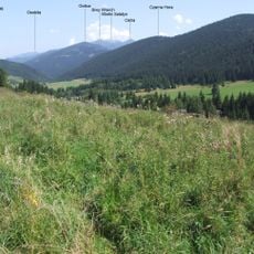
Haj
7.3 km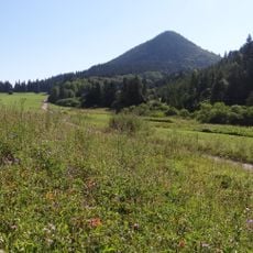
Ostroň
2.9 km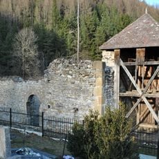
Zaniknutý kostol sv. Anny
4.7 km
Farský kostol Panny Márie
5.3 km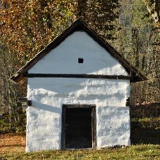
Usadlosť, sýpka
5.9 km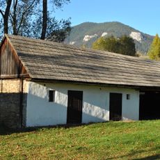
Usadlosť, stavba hospodárska
5.9 km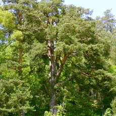
Scots Pine in Veľké Borové
5.7 kmVisited this place? Tap the stars to rate it and share your experience / photos with the community! Try now! You can cancel it anytime.
Discover hidden gems everywhere you go!
From secret cafés to breathtaking viewpoints, skip the crowded tourist spots and find places that match your style. Our app makes it easy with voice search, smart filtering, route optimization, and insider tips from travelers worldwide. Download now for the complete mobile experience.

A unique approach to discovering new places❞
— Le Figaro
All the places worth exploring❞
— France Info
A tailor-made excursion in just a few clicks❞
— 20 Minutes