
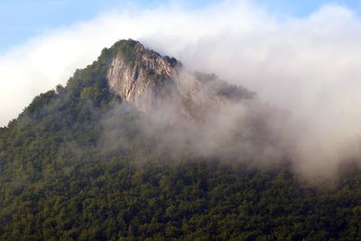
Sivec, Berggipfel in der Slowakei
Location: Košice-okolie District
Elevation above the sea: 780.8 m
GPS coordinates: 48.84893,21.09979
Latest update: March 27, 2025 16:05
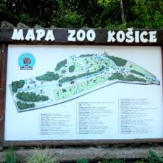
Košice Zoo
10.1 km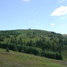
Kojšovská hoľa
11.1 km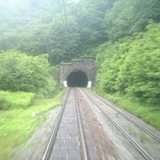
Bujanov Tunnel
4.1 km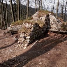
Obišovský hrad
9.7 km
Jahodna
9.4 km
Roháčka
10.5 km
Folkmarská skala
6.8 km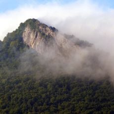
Sivec
321 m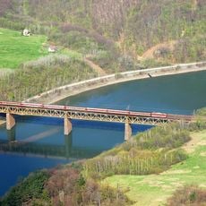
Ružínsky viadukt
3.2 km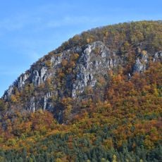
Holica
2.9 km
Dunitová skalka
8.6 km
Church of the Transfiguration, Sedlice
7.8 km
Kysacký hrad
7.9 km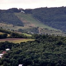
Hornádske predhorie
9.9 km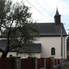
Kostol sv. Petra a Pavla
11.3 km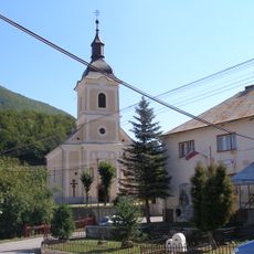
Chrám sv. Petra a Pavla
8.8 km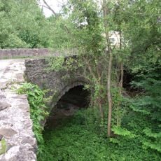
Gelnica, stone bridge
11.8 km
Kostol sv. Michala
11.6 km
Kostol sv. Antona Pustovníka, kostol
8.3 km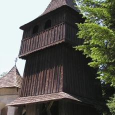
Chrám Ochrany Presvätej Bohoro, zvonica drevená
9.4 km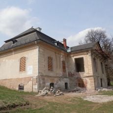
Ruské Pekľany Manor house
8.7 km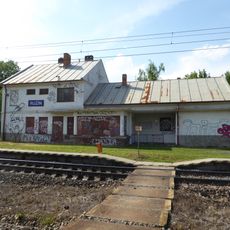
Ružín railway station
2.9 km
Humenec
5.4 km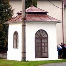
Kostol sv. Antona Pustovníka, kaplnka
8.3 km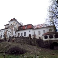
Kúria
8 km
Kaštieľ Pillerovcov, kaštieľ
10.9 km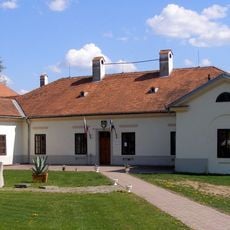
Kaštieľ
11.3 km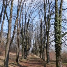
Kaštieľ Pillerovcov, park
10.9 kmReviews
Visited this place? Tap the stars to rate it and share your experience / photos with the community! Try now! You can cancel it anytime.
Discover hidden gems everywhere you go!
From secret cafés to breathtaking viewpoints, skip the crowded tourist spots and find places that match your style. Our app makes it easy with voice search, smart filtering, route optimization, and insider tips from travelers worldwide. Download now for the complete mobile experience.

A unique approach to discovering new places❞
— Le Figaro
All the places worth exploring❞
— France Info
A tailor-made excursion in just a few clicks❞
— 20 Minutes