
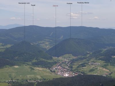
Havranský vrch, mountain
Location: District of Dolný Kubín
GPS coordinates: 49.29458,19.16815
Latest update: March 2, 2025 22:03
Jánošíkové diery
8.5 km
Veľký Rozsutec
8.7 km
Kubínska hoľa
7.7 km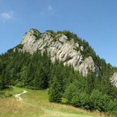
Malý Rozsutec
7.2 km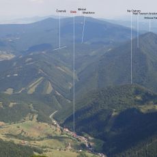
Minčol
6.4 km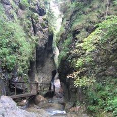
Dolné diery
8.6 km
Osnica
8.9 km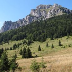
Rozsutec
8.8 km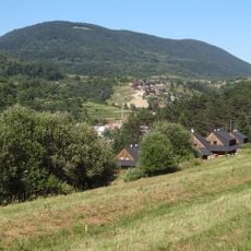
Pupov
6.3 km
Paráč
4.8 km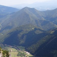
Hrčova Kečka
5.7 km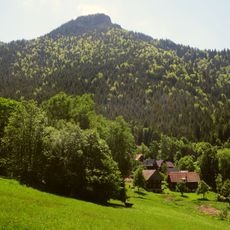
Pod Rozsutec
7.1 km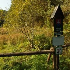
Bôrická mláka
3.4 km
Bzinská hoľa
5.6 km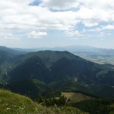
Sokolec
7.7 km
Zázrivská brázda
3 km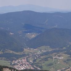
Zázrivské lazy
2 km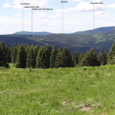
Minčol
5.2 km
Kýčera
9.1 km
Południowe Skały
8.6 km
Mačkov
6 km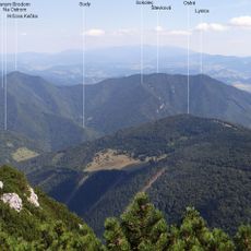
Ostré
7.6 km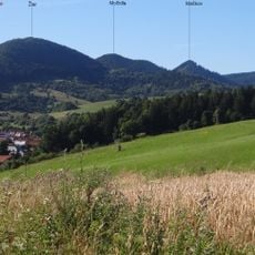
Močidla
6.7 km
Na Ostrom
6.2 km
Žiar
7.4 km
Pamätník bojov
9.2 km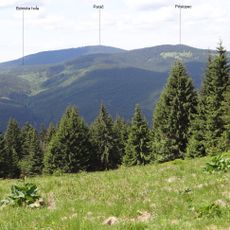
Prislopec
5.9 km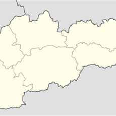
Prameň medzi Rozsutcami
7.3 kmReviews
Visited this place? Tap the stars to rate it and share your experience / photos with the community! Try now! You can cancel it anytime.
Discover hidden gems everywhere you go!
From secret cafés to breathtaking viewpoints, skip the crowded tourist spots and find places that match your style. Our app makes it easy with voice search, smart filtering, route optimization, and insider tips from travelers worldwide. Download now for the complete mobile experience.

A unique approach to discovering new places❞
— Le Figaro
All the places worth exploring❞
— France Info
A tailor-made excursion in just a few clicks❞
— 20 Minutes