
Komende, Berggipfel in Sierra Leone
Location: Southern Province
Elevation above the sea: 75 m
GPS coordinates: 8.08518,-12.42363
Latest update: June 20, 2025 02:25
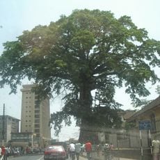
Cotton Tree
100 km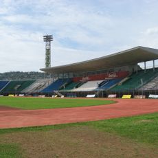
National Stadium
101 km
Loma Mansa
192 km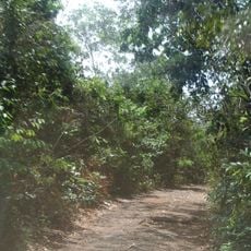
Western Area Peninsula National Park
88.3 km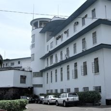
State House
99.8 km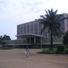
Palais du Peuple
212.1 km
Lungi Bridge
94.6 km
Outamba-Kilimi National Park
192.8 km
Gola National Park
178.5 km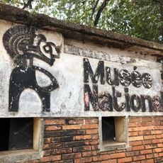
Conakry National Museum
212 km
Marché Madina
212.2 km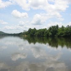
Tiwai Island
135.9 km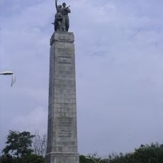
Monument du 22 Novembre 1970
212.1 km
Sierra Leone House of Parliament
99.8 km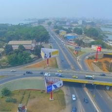
8 November Bridge
212.3 km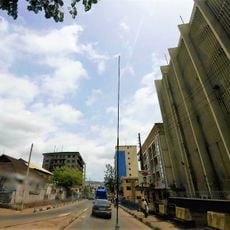
Sierra Leone National Museum
100 km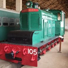
Sierra Leone National Railway Museum
97.2 km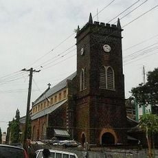
St. George's Cathedral, Freetown
100.2 km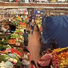
Marché du Niger
212.4 km
Leicester Peak
97.1 km
Cape Sierra Leone Lighthouse
106.6 km
Plage de Bénarès
210.6 km
Kenema Town Field
138.6 km
Bastion des Fort Thornton
99.7 km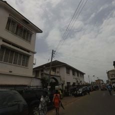
Tor zum alten Kings Yard
100.3 km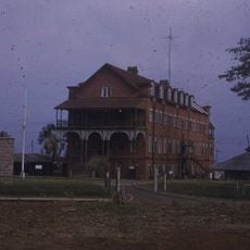
Old Fourah Bay College building
97.7 km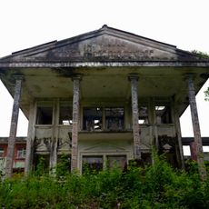
Tubman Center of African Culture
188.3 km
Gateway to the Old King's Yards
100.3 kmReviews
Visited this place? Tap the stars to rate it and share your experience / photos with the community! Try now! You can cancel it anytime.
Discover hidden gems everywhere you go!
From secret cafés to breathtaking viewpoints, skip the crowded tourist spots and find places that match your style. Our app makes it easy with voice search, smart filtering, route optimization, and insider tips from travelers worldwide. Download now for the complete mobile experience.

A unique approach to discovering new places❞
— Le Figaro
All the places worth exploring❞
— France Info
A tailor-made excursion in just a few clicks❞
— 20 Minutes