Yang Moen, subdistrict in Samoeng district, Chiang Mai province, Thailand
Location: Samoeng
Shares border with: Mae Daet
GPS coordinates: 18.98870,98.57310
Latest update: April 22, 2025 23:33

Wat Phrathat Doi Suthep
42 km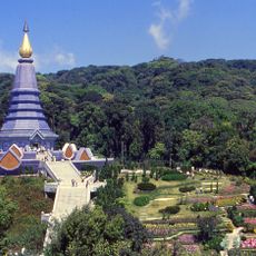
Doi Inthanon
45.5 km
Wat Phra That Doi Kham
44.4 km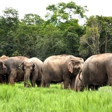
Elephant Nature Park
39.3 km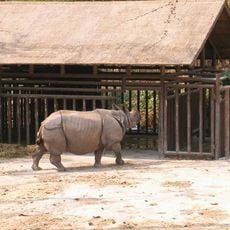
Chiang Mai Zoo
44.2 km
Doi Suthep
38.7 km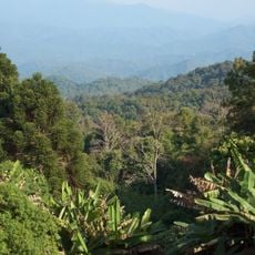
Doi Suthep-Pui National Park
41.3 km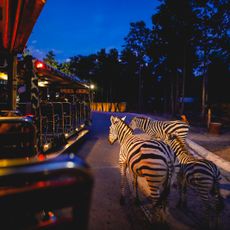
Chiang Mai Night Safari
45.5 km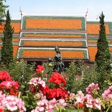
Bhubing Palace
39.8 km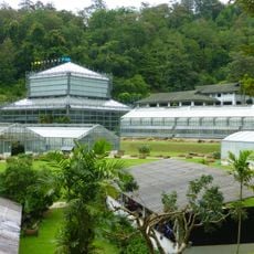
Queen Sirikit Botanic Garden
32.4 km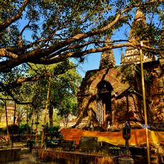
Wat Chet Yot
46.5 km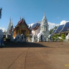
Wat Ban Den
46.6 km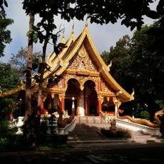
Wat Aranyawiwake
46.3 km
Wat Phra Puttha Baht Si Roi
20.1 km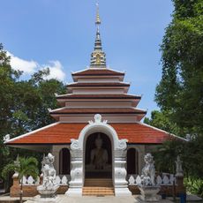
Wat Pha Lat
43.4 km
Huai Nam Dang National Park
34.9 km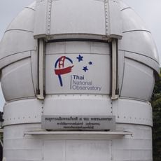
Thai National Observatory
45.3 km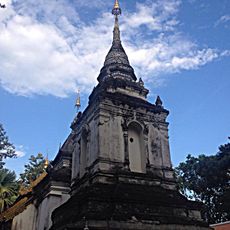
Wat Pa Daeng Maha Wihan
45.5 km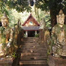
Monk’s Trail Trailhead
44.3 km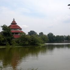
Tribal Museum
46.2 km
Op Khan National Park
40.3 km
Wat Pa Phut Photchanaram
43.3 km
Wat Phra Nom Khon Muang
45.5 km
Wat Luang
43.7 km
Mae Sa Waterfall (Nam tok Mae Sa)
35.3 km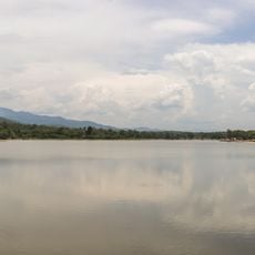
Huai Tueng Thao Reservoir
41 km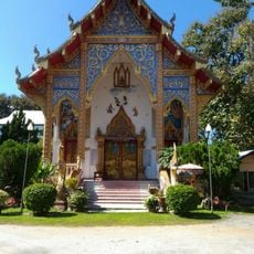
Wat Sawang Bantoeng
41.4 km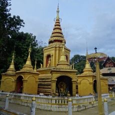
Wat Klang
43.5 kmReviews
Visited this place? Tap the stars to rate it and share your experience / photos with the community! Try now! You can cancel it anytime.
Discover hidden gems everywhere you go!
From secret cafés to breathtaking viewpoints, skip the crowded tourist spots and find places that match your style. Our app makes it easy with voice search, smart filtering, route optimization, and insider tips from travelers worldwide. Download now for the complete mobile experience.

A unique approach to discovering new places❞
— Le Figaro
All the places worth exploring❞
— France Info
A tailor-made excursion in just a few clicks❞
— 20 Minutes