
Taluban, subdistrict in Sai Buri district, Pattani province, Thailand
Location: Sai Buri
Shares border with: Pase Yawo, Tabing, Lahan, Talo Kraithong
GPS coordinates: 6.70119,101.61811
Latest update: March 23, 2025 02:10

Belum Temenggor Forest Reserve
117.8 km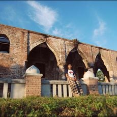
Krue Sae Mosque
39.7 km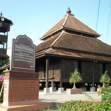
Kampung Laut Mosque
101.8 km
Sultan Mohammad IV Stadium
94.4 km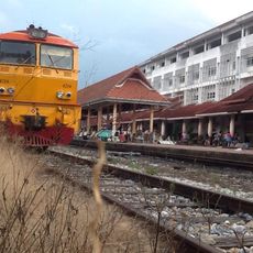
Yala Railway Station
39.2 km
Pattani Central Mosque
44 km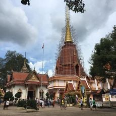
Wat Chang Hai Rat Burana
50.1 km
Wat Phothivihan
85.7 km
300 Years Mosque
24.5 km
Siti Khadijah Market
93.6 km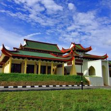
Sultan Ismail Petra Mosque
86.4 km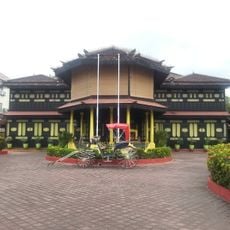
Istana Jahar
93.3 km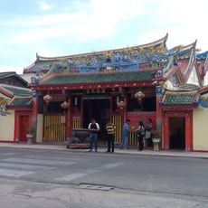
Leng Chu Kiang Shrine
44.1 km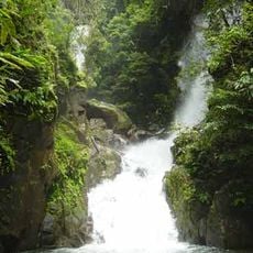
Sai Khao waterfall
57.6 km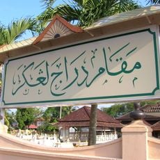
Kelantan Royal Mausoleum
95.5 km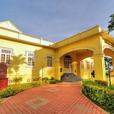
Istana Batu Royal Museum
93.3 km
Budo–Su-ngai Padi National Park
26.1 km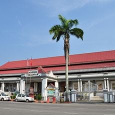
Kelantan Museum
93.9 km
Kelantan Islamic Museum
93.2 km
Wat Khao Kong
41.1 km
Wat Phuthathiwat
119.4 km
Narathat Beach
36.3 km
Wat Uttamaram
91.7 km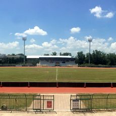
Na Thawi District Stadium
102.5 km
Wat Thep Nimit
19.7 km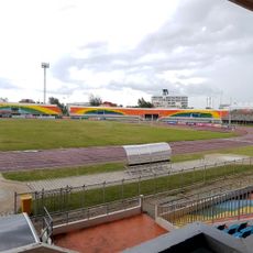
Pattani Province Stadium
46.3 km
Wat Machimmaram
78.9 km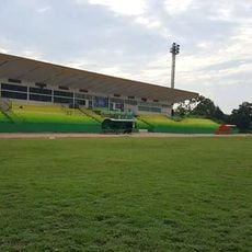
Narathiwat Provincial Administrative Organization Stadium
37.1 kmReviews
Visited this place? Tap the stars to rate it and share your experience / photos with the community! Try now! You can cancel it anytime.
Discover hidden gems everywhere you go!
From secret cafés to breathtaking viewpoints, skip the crowded tourist spots and find places that match your style. Our app makes it easy with voice search, smart filtering, route optimization, and insider tips from travelers worldwide. Download now for the complete mobile experience.

A unique approach to discovering new places❞
— Le Figaro
All the places worth exploring❞
— France Info
A tailor-made excursion in just a few clicks❞
— 20 Minutes