
Map Tako En, subdistrict in Khon Buri district, Nakhon Ratchasima province, Thailand
Location: Khon Buri
Inception: September 20, 1979
GPS coordinates: 14.55229,102.34577
Latest update: March 4, 2025 08:20
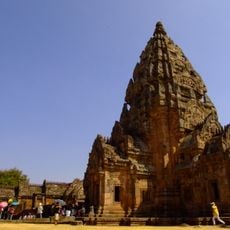
Phanom Rung historical park
64.3 km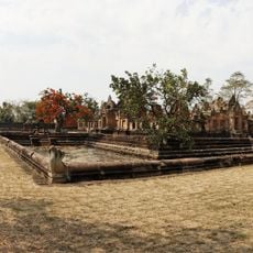
Prasat Muang Tam
68.9 km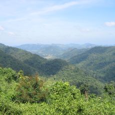
Dong Phayayen-Khao Yai Forest Complex
40.4 km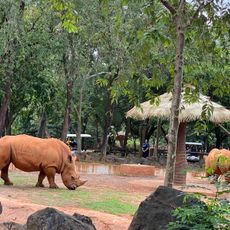
Nakhon Ratchasima Zoo
44.2 km
Thap Lan National Park
60.6 km
Muang Sema
72 km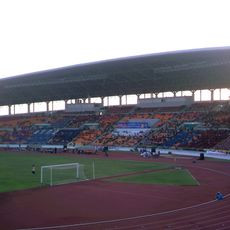
80th Birthday Stadium
52.5 km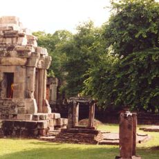
Prasat Hin Phanom Wan
55.1 km
Pang Sida National Park
53.4 km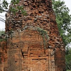
Ta Phraya National Park
68.2 km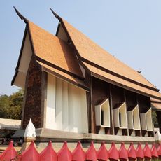
Wat Sala Loi
53.7 km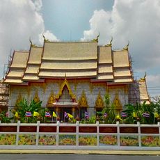
Wat Phayap
54.4 km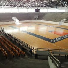
Korat Chatchai Hall
52.6 km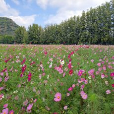
Jim Thompson Farm
52.5 km
Wat Thammachak Semaram
71.9 km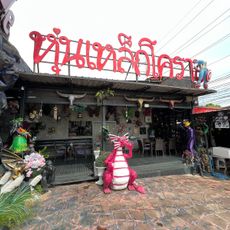
Dragon Cafe sculptures
71.6 km
Kuti Ruesi - 2
68.2 km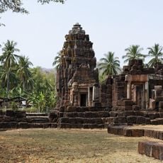
Kuti Reussi n°1 (Ban Nong Bea Lai)
66.4 km
Lalu
62.3 km
Wat Hua Saphan
52.9 km
Wat Prasat Burapharam
69.1 km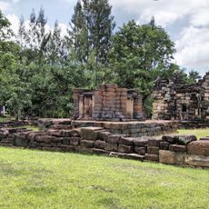
Prasat Mueang Kao
65.4 km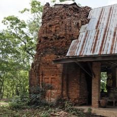
Prasat Khao Lon
66.8 km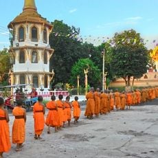
Wat Trai Siri Monkhon
21.6 km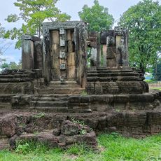
Prang Pha Kho
24.7 km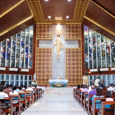
Our Lady of Lourdes Cathedral, Nakhon Ratchasima
55 km
Wat Tawan Tok Nang Rong
49.5 km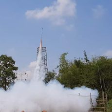
Rocket Festival Site
52.2 kmReviews
Visited this place? Tap the stars to rate it and share your experience / photos with the community! Try now! You can cancel it anytime.
Discover hidden gems everywhere you go!
From secret cafés to breathtaking viewpoints, skip the crowded tourist spots and find places that match your style. Our app makes it easy with voice search, smart filtering, route optimization, and insider tips from travelers worldwide. Download now for the complete mobile experience.

A unique approach to discovering new places❞
— Le Figaro
All the places worth exploring❞
— France Info
A tailor-made excursion in just a few clicks❞
— 20 Minutes