
Baýramaly, human settlement
Location: Mary Region
Elevation above the sea: 233 m
GPS coordinates: 37.61667,62.15000
Latest update: May 14, 2025 13:01
Merv
5.9 km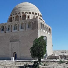
Sultan Sanjar's mausoleum
5.4 km
Altyndepe
174.1 km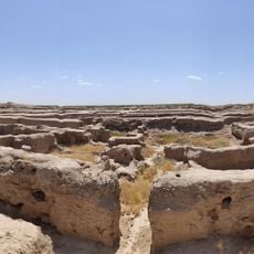
Gunar Tepe
64.7 km
Repetek Biosphere State Reserve
116.5 km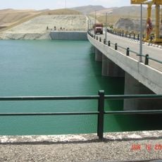
Iran–Turkmenistan Friendship Dam
205.5 km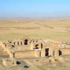
Sharaf Caravanserai
200.7 km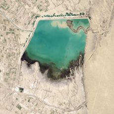
Hanhowuz Reservoir
89.6 km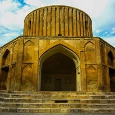
Sun Palace
222.1 km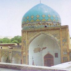
Kabud Gonbad Mosque
221.8 km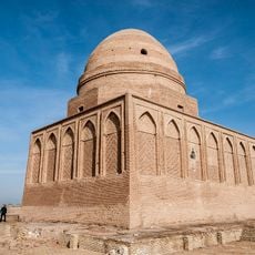
Tomb of Baba Loghman
147 km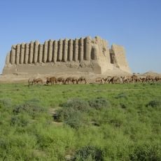
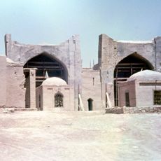
Great Kyz Kala
4.3 km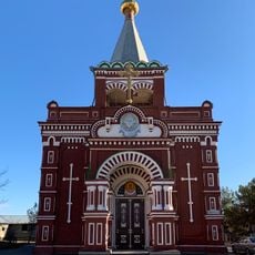
Pokrovskaya Church
26.2 km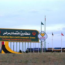
Sarakhs Special Economic Zone
148.9 km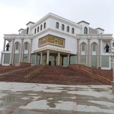
Mary Provincial Regional and History Museum
26.3 km
Forud Castle
229.4 km
Imamzadeh Yahya (Meyami)
235.3 km
State ornithological wildlife sanctuary "Dengizkul"
242.1 km
Meane-Baba-Mausoleum
174.4 km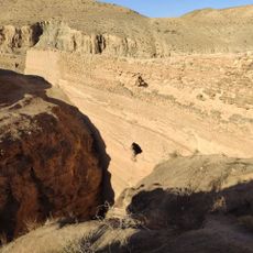
Naderi Dam
218.3 km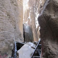
Qarasu Waterfall
230.7 km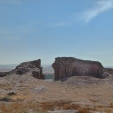
Mahi Caravanserai
234.7 km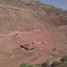
Abgarm Caravanserai
222.6 km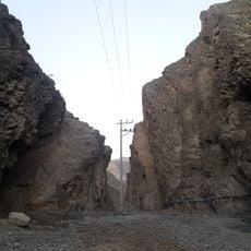
Arghun Shah Gate
225.5 km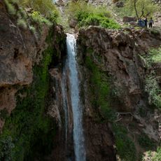
Abgarm Waterfall
223 km
Kalat-e Naderi Watch Towers
221.2 km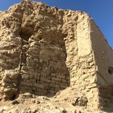
Erk Kala
7 km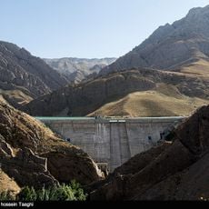
Zavin Dam
223.2 kmReviews
Visited this place? Tap the stars to rate it and share your experience / photos with the community! Try now! You can cancel it anytime.
Discover hidden gems everywhere you go!
From secret cafés to breathtaking viewpoints, skip the crowded tourist spots and find places that match your style. Our app makes it easy with voice search, smart filtering, route optimization, and insider tips from travelers worldwide. Download now for the complete mobile experience.

A unique approach to discovering new places❞
— Le Figaro
All the places worth exploring❞
— France Info
A tailor-made excursion in just a few clicks❞
— 20 Minutes