
Lopatyn, administrative territorial entity of Ukraine
Location: Radekhiv Raion
Location: Chervonohrad Raion
Elevation above the sea: 216 m
GPS coordinates: 50.21500,24.83472
Latest update: March 23, 2025 15:31
Brody Castle
26 km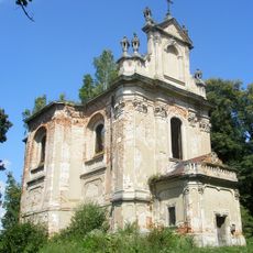
All Saints Church in Hodovytsia
22.2 km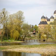
Orthodox church of the Holy Trinity, Berestechko
25.3 km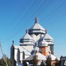
Saint Nicholas church, Radekhiv
15.3 km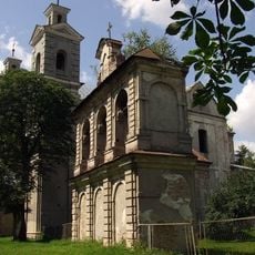
Roman catholic church of the Holy Trinity, Berestechko
25.8 km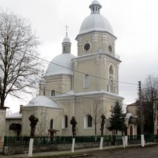
Church of Nativity of the Theotokos, Brody
26.4 km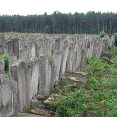
Jewish cemetery in Brody
25.4 km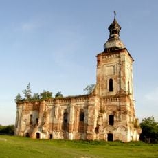
Костел і монастир бернардинців
18.5 km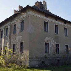
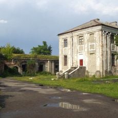
Палац Потоцьких
21.7 km
Kempa
24.3 km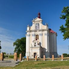
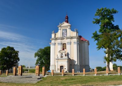
Church of the Immaculate Conception, Lopatyn
988 m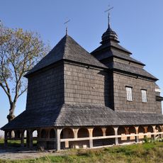
Saint Michael church in Kuty
24.7 km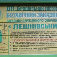
Leshnivskyi
20.4 km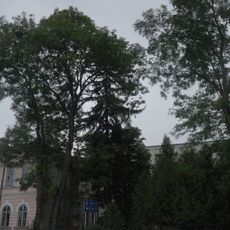
Grupa vikovykh jaseniv
15.9 km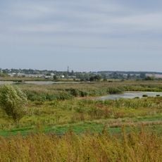
Hnyla Lypa
25 km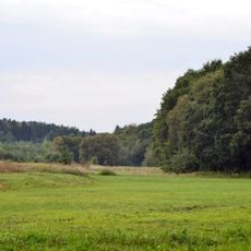
Buzhanivskyi nature reserve
19 km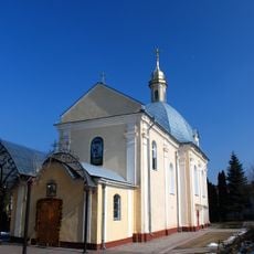
Церква святого Юра
26.3 km
Synagogue in Toporiv
13.8 km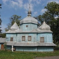
Synaxis of the Theotokos church, Zabolottsi
22.7 km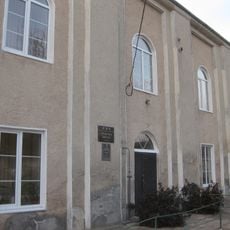
Synagogue in Berestechko
25.9 km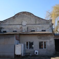
Synagogue in Radekhiv
15.4 km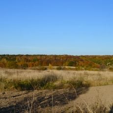
Krasna Hora protected landscape
23.4 km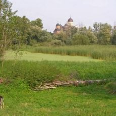
Berestechko Park
25.5 km
Pisky
19.6 km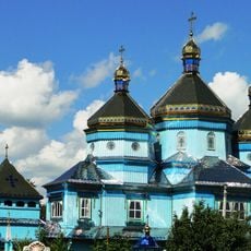
Церква Успіння Пресвятої Богородиці
1.3 km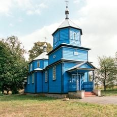
Church of the Intercession, Mytnytsia
22.9 km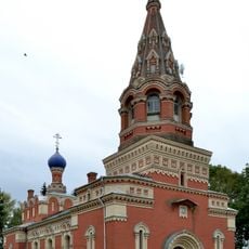
Saint Demetrius Orthodox church in Zhuravnyky
26 km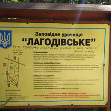
Lagodivske
21.2 kmReviews
Visited this place? Tap the stars to rate it and share your experience / photos with the community! Try now! You can cancel it anytime.
Discover hidden gems everywhere you go!
From secret cafés to breathtaking viewpoints, skip the crowded tourist spots and find places that match your style. Our app makes it easy with voice search, smart filtering, route optimization, and insider tips from travelers worldwide. Download now for the complete mobile experience.

A unique approach to discovering new places❞
— Le Figaro
All the places worth exploring❞
— France Info
A tailor-made excursion in just a few clicks❞
— 20 Minutes