Koboko District, districts of Uganda
Location: Northern Region
Capital city: Koboko
Elevation above the sea: 1,285 m
Website: http://koboko.go.ug
GPS coordinates: 3.41667,30.96667
Latest update: March 5, 2025 01:20
Lira
252.1 km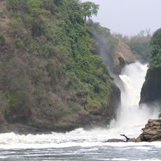
Murchison Falls
149.8 km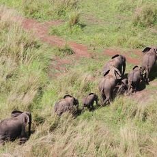
Garamba National Park
201.4 km
Ziwa Rhino Sanctuary
252.2 km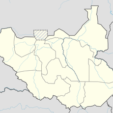
Bandingilo National Park
267.5 km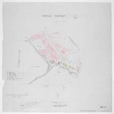
Nimule National Park
113.5 km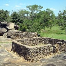
Baker's Fort
156.7 km
Juba Nile Bridge
172 km
Toro-Semliki Wildlife Reserve
278.1 km
St. Theresa Cathedral, Juba
172.1 km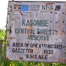
Kagombe Central Forest Reserve
288.6 km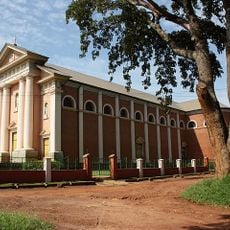
St. Joseph's Cathedral, Gulu
161.3 km
Kinyeti
223.8 km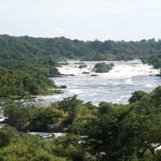
Karuma Falls
192 km
Juba Game Reserve
170.8 km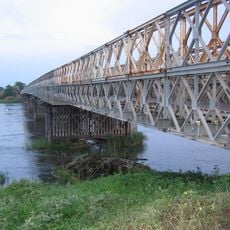
Juba Bridge
172 km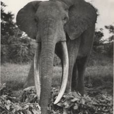
Gangala-na-Bodio Elephant Domestication Center
205.6 km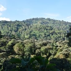
North Rwenzori Central Forest Reserve
302 km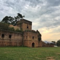
Dungu Castle
268.2 km
Agu
198.6 km
Aga Falls
55.4 km
Mundu
114.8 km
Loka Forest Reserve
95.3 km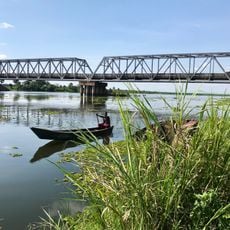
Albert Nile Bridge
122.4 km
Sauro Rocks
261.7 km
Christ the King Cathedral, Yei
81.2 km
Fajelu
102.3 km
Morokodo
250.4 kmReviews
Visited this place? Tap the stars to rate it and share your experience / photos with the community! Try now! You can cancel it anytime.
Discover hidden gems everywhere you go!
From secret cafés to breathtaking viewpoints, skip the crowded tourist spots and find places that match your style. Our app makes it easy with voice search, smart filtering, route optimization, and insider tips from travelers worldwide. Download now for the complete mobile experience.

A unique approach to discovering new places❞
— Le Figaro
All the places worth exploring❞
— France Info
A tailor-made excursion in just a few clicks❞
— 20 Minutes