
Mixbury, village and civil parish in Cherwell district, Oxfordshire, England
Location: Cherwell
Shares border with: , ,
GPS coordinates: 52.00400,-1.11400
Latest update: March 13, 2025 04:49
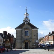
Brackley Town Hall
3.5 km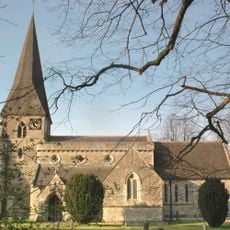
Church of St George
2.6 km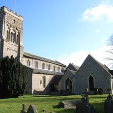
Church of St Peter
3.5 km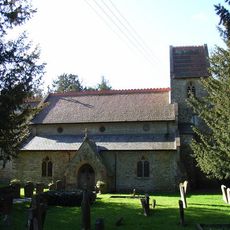
Church of St Augustine
1.9 km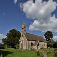
Church of St Michael
3.9 km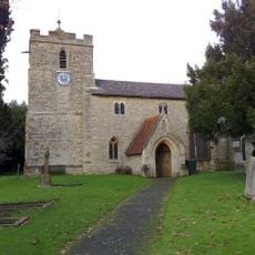
Church of St Michael
3 km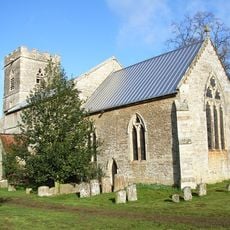
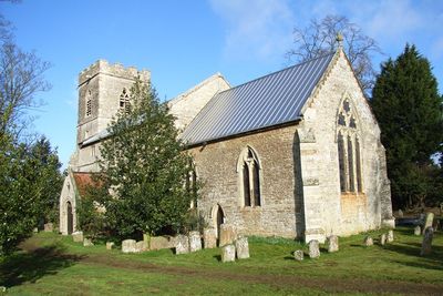
Church of All Saints
323 m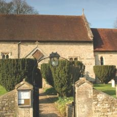
Church of St Mary
3.9 km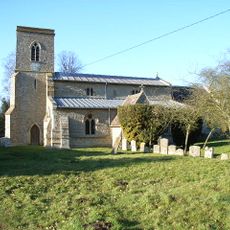
Church of St Michael and All Angels
5.2 km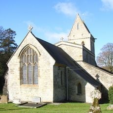
Church of St Mary
3.5 km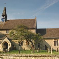
Church of St Edmund and George
5.1 km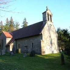
Church of St James
4.6 km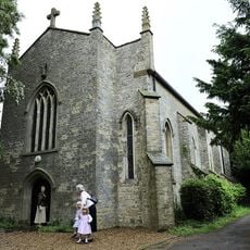
Church of Holy Trinity (Roman Catholic)
5.2 km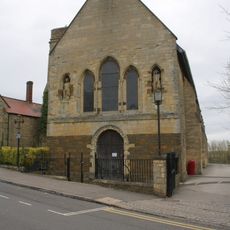
Magdalen College Chapel Of Saints John And James
3.5 km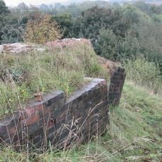
Brackley Viaduct
3.2 km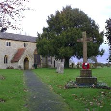
Finmere War Memorial in Churchyard of Church of St Michael and All Angels
3 km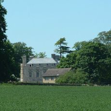
Evenley Hall
2.5 km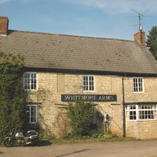
Whitmore Arms Public House
5.2 km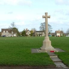
Evenley War Memorial
2.3 km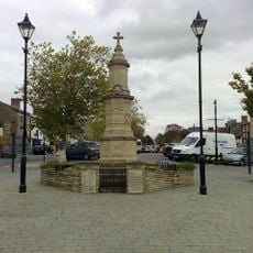
Brackley War Memorial
3.5 km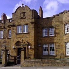
Brackley Lodge (including Gate Piers)
3.6 km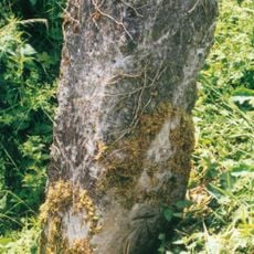
Milestone, The Pits, 100m W of Mixbury turn
1.1 km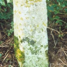
Milestone, W edge of Finmere Village, opp. boundary fence of school
3.3 km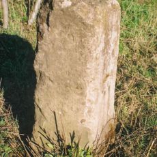
Milestone, old railway bridge, Mixbury Plantation, near turn to Widmore Farm
1.8 km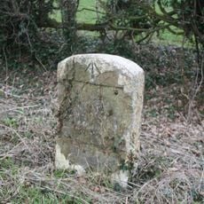
Milestone, Brackley Road; half mile E of Westbury village
2.6 km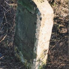
Milestone, Brackley Road; 100m W of Grove Farm turn
2.1 km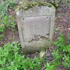
Milestone, 400m N of Barley Mow roundabout
3.3 km
Milestone, N of Evenley roundabout
3.1 kmReviews
Visited this place? Tap the stars to rate it and share your experience / photos with the community! Try now! You can cancel it anytime.
Discover hidden gems everywhere you go!
From secret cafés to breathtaking viewpoints, skip the crowded tourist spots and find places that match your style. Our app makes it easy with voice search, smart filtering, route optimization, and insider tips from travelers worldwide. Download now for the complete mobile experience.

A unique approach to discovering new places❞
— Le Figaro
All the places worth exploring❞
— France Info
A tailor-made excursion in just a few clicks❞
— 20 Minutes