
Falfield, a village located in South Gloucestershire, United Kingdom
Location: South Gloucestershire
GPS coordinates: 51.63700,-2.45900
Latest update: April 9, 2025 18:53
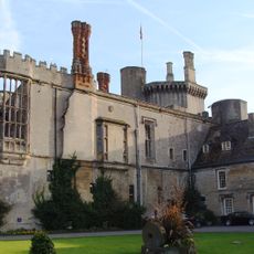
Thornbury Castle
5.5 km
Tortworth Court
1.2 km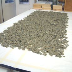
Thornbury Hoard
5.5 km
Slickstones Quarry, Cromhall
2.6 km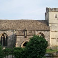
St James' Church, Charfield
4.2 km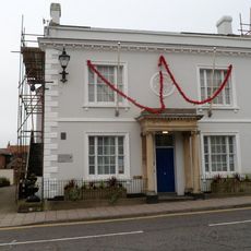
Magistrates Court
5.7 km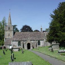
Church of St Michael
3.9 km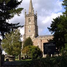
Church of All Saints
2.2 km
Church of St George
53 m
Parish Church of St John
3.8 km
Parish Church of St Andrew
2.9 km
Parish Church of St Leonard
2.1 km
Church of St Mary Parish Church of St Mary the Virgin
5.6 km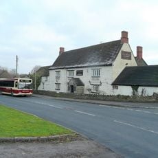
Swan Inn
5.2 km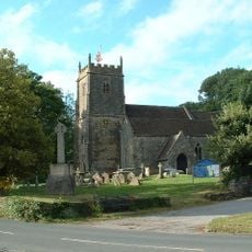
Church of St James
5.1 km
Church of St Oswald
2.8 km
Canopied Seat And Flanking Walls,Memorial To The Countess Of Ducie,25 Yards East Of Chancel Of St Leonard's Church
2.1 km
Charfield War Memorial
3.8 km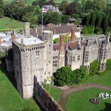
Walls Enclosing Privy Garden Immediately To South Of The Inner Court Of Thornbury Castle
5.5 km
Tytherington War Memorial
5.1 km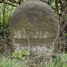
Milestone At National Grid Reference St 6928 8850
4.8 km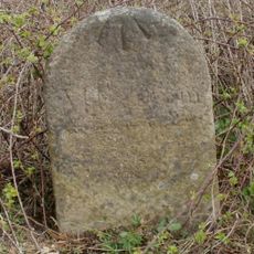
Milestone At National Grid Reference St6977 8999
3.5 km
Medieval fishponds 125m south of Park Farm, Thornbury
4.9 km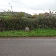
Milestone, Hill village
4.2 km
Milestone, Gloucester Road, Morton
2.3 km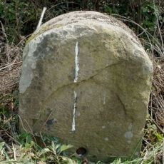
Milestone, Woodford
3.1 km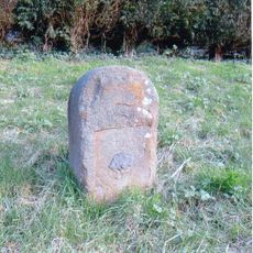
Milestone, Milbury Heath; 130m N Cutts Heath Road
3.7 km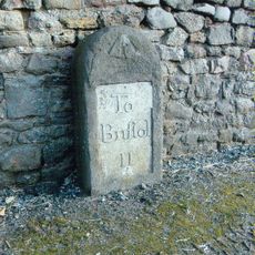
Milestone, Grovesend
5.3 kmVisited this place? Tap the stars to rate it and share your experience / photos with the community! Try now! You can cancel it anytime.
Discover hidden gems everywhere you go!
From secret cafés to breathtaking viewpoints, skip the crowded tourist spots and find places that match your style. Our app makes it easy with voice search, smart filtering, route optimization, and insider tips from travelers worldwide. Download now for the complete mobile experience.

A unique approach to discovering new places❞
— Le Figaro
All the places worth exploring❞
— France Info
A tailor-made excursion in just a few clicks❞
— 20 Minutes