
Margaret Roding, village and civil parish in Essex, UK
Location: Uttlesford
Part of: The Rodings
GPS coordinates: 51.78360,0.31333
Latest update: March 13, 2025 23:36
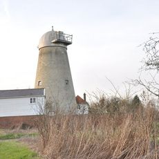
White Roding Windmill
3.4 km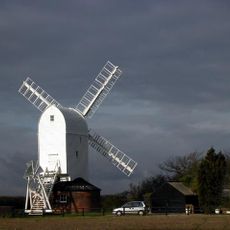
Aythorpe Roding Windmill
3.2 km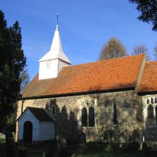
St Andrew's Church, Willingale
4.7 km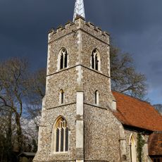
Church of St Edmund
2.5 km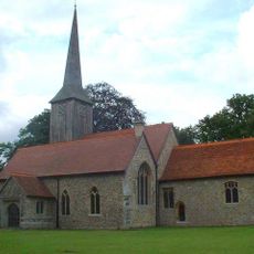
Church of St Andrew
3 km
Church of St Martin
3.8 km
Parish Church of St Michael and All Angels
1.4 km
Parish Church of All Saints
4.6 km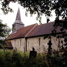
Parish Church of St Mary
3.6 km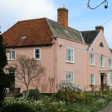
Garnish Hall
291 m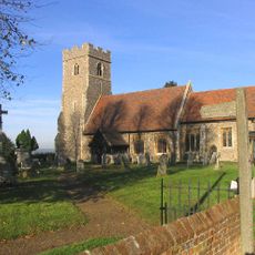
Parish Church of St Christopher Willingale Doe
4.6 km
Church of St Peter and St Paul
4.2 km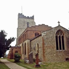
Parish Church of St Mary
3.6 km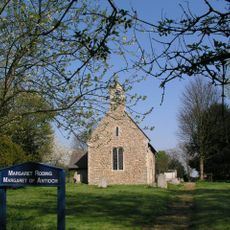
Parish Church of St Margaret
231 m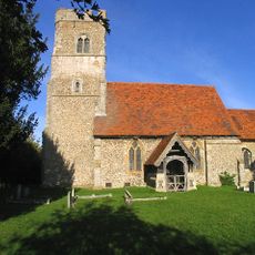
Church of St Botolph Beauchamp Roding
2.9 km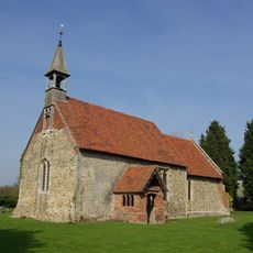
Mashbury Church
5.5 km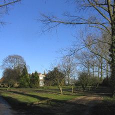
Torrells Hall
3.7 km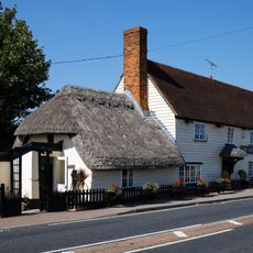
Axe And Compasses Public House
3.3 km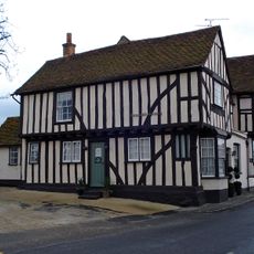
Cock And Bell
3.7 km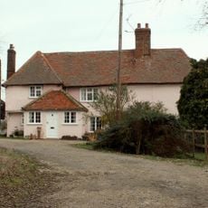
Games Farmhouse
1.8 km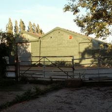
Poplars Farmhouse
4.2 km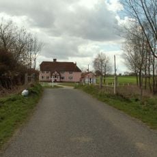
Motts Green Farmhouse
1.7 km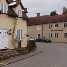
The Punch Bowl
3.7 km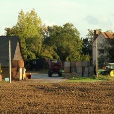
Friars Grange Farmhouse
2.5 km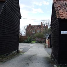
Barn On Roadside At Falconers Hall Known As The Top Barn Barn On Roadside At Faulkner's Hall Known As The Granary
2.9 km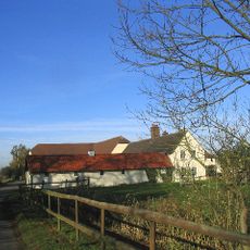
Clapgate Farmhouse
5.5 km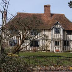
Lucas Farm House
2.7 km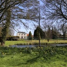
The Old Rectory
3.6 kmReviews
Visited this place? Tap the stars to rate it and share your experience / photos with the community! Try now! You can cancel it anytime.
Discover hidden gems everywhere you go!
From secret cafés to breathtaking viewpoints, skip the crowded tourist spots and find places that match your style. Our app makes it easy with voice search, smart filtering, route optimization, and insider tips from travelers worldwide. Download now for the complete mobile experience.

A unique approach to discovering new places❞
— Le Figaro
All the places worth exploring❞
— France Info
A tailor-made excursion in just a few clicks❞
— 20 Minutes